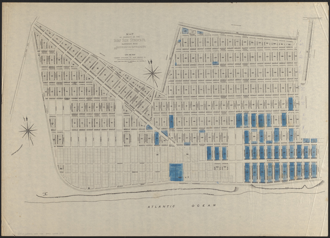
Map of property of the Surf Side Syndicate, Nantucket, Mass.
Item Information
- Title:
- Map of property of the Surf Side Syndicate, Nantucket, Mass.
- Date:
-
[ca. 1880–1889]
- Format:
-
Maps/Atlases
- Location:
-
Boston Public Library
Norman B. Leventhal Map & Education Center - Collection (local):
-
Norman B. Leventhal Map & Education Center Collection
- Subjects:
-
Real property--Massachusetts--Nantucket--Maps
Real estate development--Massachusetts--Nantucket--Maps
Nantucket (Mass.)--Maps
Appleton, Robert
Surfside Land Company (Nantucket, Mass.)
- Places:
-
MassachusettsNantucket (county)Nantucket Island (island)
- Extent:
- 1 map : hand colored ; 66 x 93 cm
- Terms of Use:
-
No known copyright restrictions.
No known restrictions on use.
- Publisher:
-
[Massachusetts?] :
[Surf-Side Syndicate?]
- Scale:
-
Scale approximately 1:3,500
- Language:
-
English
- Notes:
-
Some lots colored blue.
Prices of lots in manuscript pencil on right of map.
"Lots for sale by Robert Appleton, Jr., East Orange, N.J."
- Identifier:
-
06_01_016136
- Call #:
-
G3764.N18G46 1880 .M37
- Barcode:
-
39999085943478


