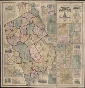
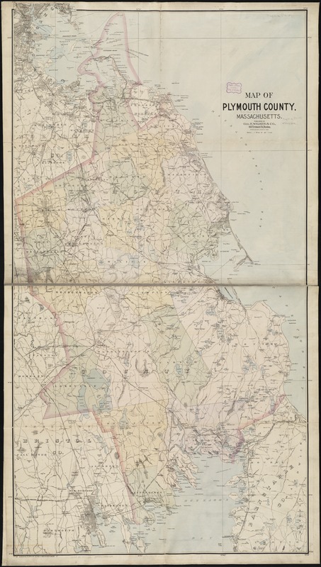
Map of Plymouth County, Massachusetts
Item Information
- Title:
- Map of Plymouth County, Massachusetts
- Creator:
- Geo. H. Walker & Co
- Date:
-
[ca. 1891]
- Format:
-
Maps/Atlases
- Location:
-
Boston Public Library
Norman B. Leventhal Map & Education Center - Collection (local):
-
Norman B. Leventhal Map & Education Center Collection
- Subjects:
-
Plymouth County (Mass.)--Maps
- Places:
-
MassachusettsPlymouth (county)
- Extent:
- 1 map : col. ; 143 x 77 cm.
- Terms of Use:
-
No known copyright restrictions.
No known restrictions on use.
- Publisher:
-
Boston, Mass :
Geo. H. Walker & Co.
- Scale:
-
Scale 1:63,360.
- Language:
-
English
- Notes:
-
Relief shown by spot heights.
- Identifier:
-
06_01_003247
- Call #:
-
G3763.P5 1891 .W3
- Barcode:
-
39999058999739