Map of Portage Co., Ohio
Item Information
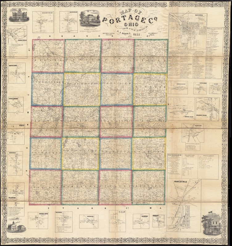
- Title:
- Map of Portage Co., Ohio
- Creator:
- Brown, P. J., (Surveyor)
- Name on Item:
-
from actual surveys by P.J. Brown.
- Date:
-
1857
- Format:
-
Maps/Atlases
- Location:
-
Boston Public Library
Norman B. Leventhal Map & Education Center - Collection (local):
-
Norman B. Leventhal Map & Education Center Collection
- Subjects:
-
Buildings--Ohio--Portage County--Pictorial works
Landowners--Ohio--Portage County--Maps
Real property--Ohio--Portage County--Maps
Portage County (Ohio)--Maps
- Places:
-
OhioPortage (county)
- Extent:
- 1 map on 4 sheets : mounted on linen, color ; 129 x 123 cm
- Terms of Use:
-
No known copyright restrictions.
No known restrictions on use.
- Publisher:
-
Philada :
Matthews and Taintor Publishers
- Scale:
-
Scale 1:42,240. 1 1/2 inch to a mile
- Language:
-
English
- Notes:
-
Entered according to act of Congress in the year 1857 by Robert Pearsall Smith in Clerks Office of the district court of the eastern district of Pennsylvania.
Includes business directories, 22 insets, and 4 views of public, residential, and commercial properties.
Insets: Deerfield -- Garretsville -- Rootstown -- Streetsboro -- Atwater -- Aurora -- Palmyra -- Suffield Center -- Shalersville -- Edinburg -- Hiram -- Brimfield -- Randolph -- Ravenna -- Augerberg -- Mantua Corners -- Nelson -- Newport Village -- Mogadore Village -- Harrison, town of Hiram -- Map of Franklin Mills -- Windham.
BPL copy assembled, sectioned into 4 pieces and mounted on cloth.
- Identifier:
-
06_01_011286
- Call #:
-
G4083.P7 1857 .B76
- Barcode:
-
39999065683516
- LCCN:
-
2012592242


