Search Constraints
Search Results


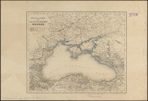
3663. Kriegs-karte 1870
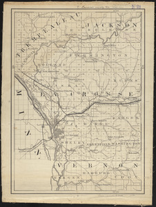
3668. Lacrosse County, Wis.
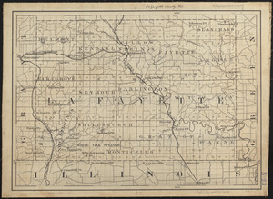
3669. Lafayette County, Wis.

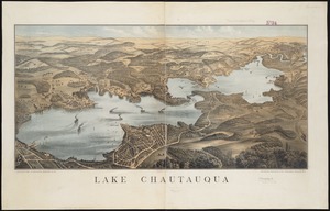
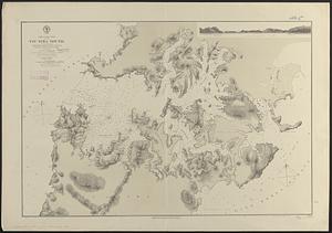
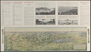
3671. Lake Chautauqua
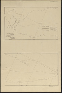
3672. Lake Erie
3673. Lake Erie
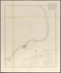
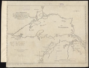
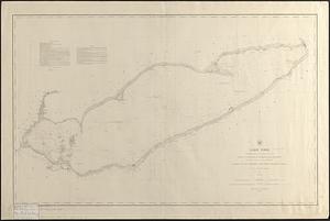
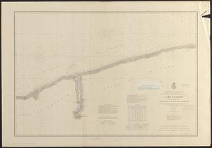
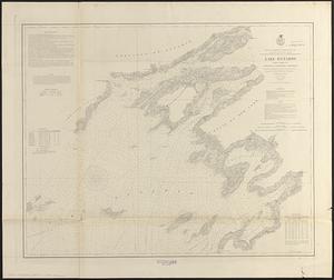
3675. Lake Ontario
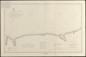
3676. Lake Ontario
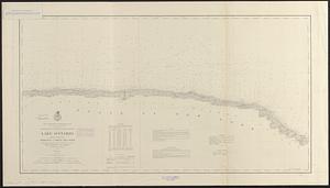
3677. Lake Ontario
3678. Lake Ontario
3679. Lake Ontario