Toggle navigation
LMEC Home
Exhibitions
Georeferencing
Tools for Teachers
Collections
My Favorites
Sign Up / Log In
Search
Search the map portal
Map Collection
Map Collection
Map Sets
Search
Search
Search for
Search In
All Fields
Creator
Title
Subject
Place
Search All Digital Collections
Advanced Search
8693 Results
My Search
Start Over
More Like
commonwealth:1257b951q
Remove constraint More Like: commonwealth:1257b951q
Filter your Search
Place
North and Central America
5,925
United States
4,843
Massachusetts
2,078
Europe
1,395
Suffolk (county)
1,045
Boston
1,018
Canada
449
Asia
438
more
Place
»
Topic
Boston (Mass.)--Maps
586
United States--Maps
282
Real property--Massachusetts--Boston--Maps
175
Massachusetts--Maps
162
Landowners--Massachusetts--Boston--Maps
133
North America--Maps--Early works to 1800
103
New England--Maps
102
Europe--Maps
79
more
Topic
»
Date
Date range begin
–
Date range end
Current results range from
1482
to
2023
View distribution
Creator
United States. Hydrographic Office
595
O.H. Bailey & Co
148
Des Barres, Joseph F. W. (Joseph Frederick Wallet), 1722-1824
123
United States. Post Office Dept
120
Ptolemy, 2nd cent
100
Walling, Henry Francis, 1825-1888
94
Geological Survey (U.S.)
86
Jefferys, Thomas, -1771
85
more
Creator
»
Format
Maps/Atlases
8,633
Manuscripts
215
Prints
56
Books
36
Objects/Artifacts
10
Drawings/Illustrations
8
Posters
5
Georeferenced
Yes
869
No
7,824
Collection
Norman B. Leventhal Map & Education Center Collection
8,693
Boston and New England Maps
2,232
Urban Maps
2,023
Maritime Charts and Atlases
1,083
American Revolutionary War-Era Maps
615
Boston Redevelopment Authority Collection
87
Available to use
No known restrictions
8,551
Creative Commons license
47
Search Constraints
Sort by relevance
relevance
title
date (asc)
date (desc)
Number of results to display per page
20 per page
10
per page
20
per page
50
per page
100
per page
View results as:
grid view
map view
Search Results
1.
Generalis Lotharingiae Ducatus Tabula, qua accuratissime oftenduntur Ducatus Lotharingiae Propriae et Barrensis nec non...
2.
Lotharingia ducatus noua descriptio
3.
Lotharingia Ducatus, vulgo Lorraine
4.
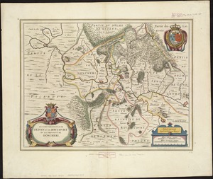
Les Souverainetez de Sedan et Raucourt et la Prevosté de Doncheri
5.
Les Souverainetez de Sedan et Raucourt et la Prevosté de Doncheri
6.
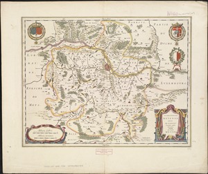
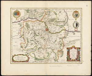
Territorium Metense = Le pais Messin
7.
Territorium Metense = Le pais Messin
8.
The 100th anniversary map of Abraham Lincoln's visit to Massachusetts, September 11-23, 1848
9.
1630 shoreline
10.
1879. Progress map of the U.S. Geographical Surveys west of the 100th Meridian : prepared under the direction of 1st Lieut....
11.
1903 Map of Salem and surrounding places
12.
19th annual convention of the National Association of Real Estate Boards : at Tulsa, June 7 to June 11 in 1926
13.
2005 significant U.S. hurricane strikes
14.
The 2100 project : an atlas for the Green New Deal
15.
227 Harzgerode
16.
305 Glatz
17.
38,000,000 escaped -- 10,000,000 died
18.
4 Kinten
19.
660 Wakulah St., Roxbury
20.
74 miles on the ocean scenic highway U.S. 1
‹ Prev
Next ›
1
2
3
4
5
…
434
435