Toggle navigation
LMEC Home
Exhibitions
Georeferencing
Tools for Teachers
Collections
My Favorites
Sign Up / Log In
Search
Search the map portal
Map Collection
Map Collection
Map Sets
Search
Search
Search for
Search In
All Fields
Creator
Title
Subject
Place
Search All Digital Collections
Advanced Search
596 Results
My Search
Start Over
More Like
commonwealth:0v83fk69n
Remove constraint More Like: commonwealth:0v83fk69n
Filter your Search
Place
North and Central America
547
United States
419
New England
130
New York
105
Canada
76
North America
68
New Jersey
43
Pennsylvania
35
more
Place
»
Topic
New England--Maps
127
New York (State)--Maps
85
North America--Maps--Early works to 1800
59
Railroads--New England--Maps
50
United States--Maps--Early works to 1800
43
New Jersey--Maps
40
Canada--Maps--Early works to 1800
38
Massachusetts--Maps
21
more
Topic
»
Date
Date range begin
–
Date range end
Current results range from
1623
to
2015
View distribution
Creator
Jefferys, Thomas, -1771
18
Bellin, Jacques Nicolas, 1703-1772
16
Robert Sayer and John Bennett (Firm)
15
Carey, Mathew, 1760-1839
14
Gibson, J. (John), active 1750-1792
14
Carleton, Osgood, 1742-1816
13
Faden, William, 1749-1836
13
Bowles, Carington, 1724-1793
10
more
Creator
»
Format
Maps/Atlases
594
Manuscripts
7
Paintings
3
Ephemera
1
Objects/Artifacts
1
Prints
1
Georeferenced
Yes
37
No
559
Collection
American Revolutionary War-Era Maps
389
MacLean Collection Map Library
379
Norman B. Leventhal Map & Education Center Collection
155
Boston and New England Maps
80
William L. Clements Library Collection
38
American Antiquarian Society Collection
15
David Judkins Weaver Papers
4
Sidney R. Knafel Map Collection at Phillips Academy
4
more
Collection
»
Available to use
No known restrictions
156
Creative Commons license
4
Search Constraints
Sort by relevance
relevance
title
date (asc)
date (desc)
Number of results to display per page
20 per page
10
per page
20
per page
50
per page
100
per page
View results as:
grid view
map view
Search Results
461.
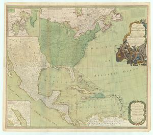
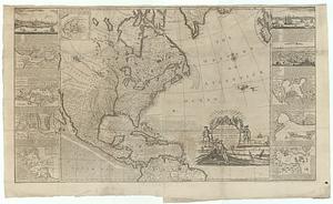
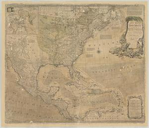
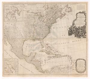
A new map of North America : with the West India Islands, divided according to the preliminary articles of peace, signed at...
462.
A new map of North America : with the British, French, Spanish, Dutch & Danish dominions on that great continent; and the West...
463.
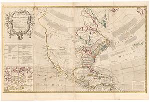
A new map of North America : from the latest discoveries
464.
A new map of North America shewing all the new discoveries
465.
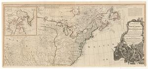
A new map of North America, wherein is exactly described all ye European settlements, with whatever else is remarkable in the...
466.
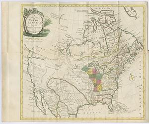
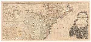
A new map of North America wherein the British dominions in the continent of North America, and on the islands of the West...
467.
A new map of North America; with the West India Islands : divided according to the preliminary articles of peace, signed at...
468.
A new map of North America; with the West India Islands : divided according to the preliminary articles of peace, signed at...
469.
A new map of North America; with the West India Islands : divided according to the preliminary articles of peace, signed at...
470.
A new map of North America; with the West India Islands : divided according to the preliminary articles of peace, signed at...
471.
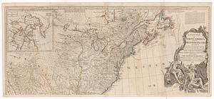
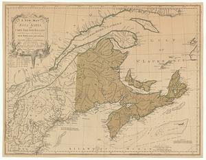
A new map of Nova Scotia, and Cape Breton Island with the adjacent parts of New England and Canada, composed from a great...
472.
A new map of the British colonies in North America, shewing the seat of the present war, taken from the best surveys, compared...
473.
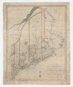
A new map of the district of Maine taken from the original map compiled by Osgood Carleton esqr. from the actual surveys that...
474.
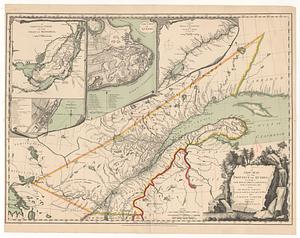
A new map of the province of Quebec, according to the royal proclamation, of the 7.th of October 1763 : from the French surveys...
475.
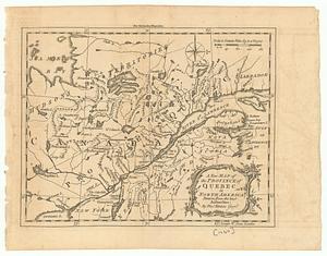
A new map of the province of Quebec in North America : drawn from the best authorities
476.
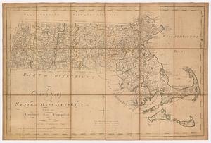
A new map of the state of Massachusetts : from the original map compiled by Osgood Carleton esq.r from the actual surveys that...
477.
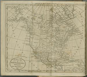
A new map of the United States of America : drawn from the latest authorities
478.
A new map of the United States of America including part of Louisiana : part of Canada & of East Florida and the whole of West...
479.
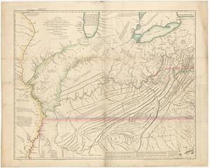
A new map of the western parts of Virginia, Pennsylvania, Maryland and North Carolina : comprehending the river Ohio, and all...
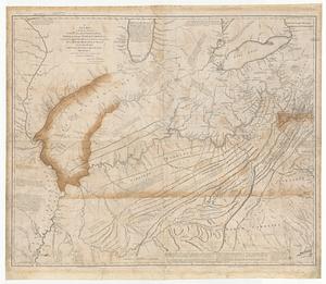
480.
A new map of the western parts of Virginia, Pennsylvania, Maryland and North Carolina comprehending the river Ohio, and all the...
‹ Prev
Next ›
1
2
…
20
21
22
23
24
25
26
27
28
29
30