Toggle navigation
LMEC Home
Exhibitions
Georeferencing
Tools for Teachers
Collections
My Favorites
Sign Up / Log In
Search
Search the map portal
Map Collection
Map Collection
Map Sets
Search
Search
Search for
Search In
All Fields
Creator
Title
Subject
Place
Search All Digital Collections
Advanced Search
5940 Results
My Search
Start Over
More Like
commonwealth:ht250287b
Remove constraint More Like: commonwealth:ht250287b
Place
North and Central America
Remove constraint Place: North and Central America
Filter your Search
Place
North and Central America
[remove]
5,940
United States
4,851
Massachusetts
2,079
Suffolk (county)
1,045
Boston
1,018
Canada
463
New York
280
North America
233
more
Place
»
Topic
Boston (Mass.)--Maps
585
United States--Maps
281
Real property--Massachusetts--Boston--Maps
175
Massachusetts--Maps
162
Landowners--Massachusetts--Boston--Maps
133
North America--Maps--Early works to 1800
103
New England--Maps
102
City planning--Massachusetts--Boston--Maps
67
more
Topic
»
Date
Date range begin
–
Date range end
Current results range from
1525
to
2023
1525 : 2024
1525
2024
View distribution
Creator
United States. Hydrographic Office
283
O.H. Bailey & Co
146
United States. Post Office Dept
120
Des Barres, Joseph F. W. (Joseph Frederick Wallet), 1722-1824
114
Walling, Henry Francis, 1825-1888
93
Geological Survey (U.S.)
86
Wright, John Kirtland, 1891-1969
71
Boston Redevelopment Authority
70
more
Creator
»
Format
Maps/Atlases
5,922
Manuscripts
184
Books
34
Prints
18
Drawings/Illustrations
7
Objects/Artifacts
5
Posters
3
Georeferenced
Yes
698
No
5,242
Collection
Norman B. Leventhal Map & Education Center Collection
5,925
Boston and New England Maps
2,230
Urban Maps
1,828
Maritime Charts and Atlases
623
American Revolutionary War-Era Maps
581
Boston Redevelopment Authority Collection
87
William L. Clements Library Collection
10
Library and Archives Canada Collection
4
more
Collection
»
Available to use
No known restrictions
5,810
Creative Commons license
40
Search Constraints
Sort by relevance
relevance
title
date (asc)
date (desc)
Number of results to display per page
20 per page
10
per page
20
per page
50
per page
100
per page
View results as:
grid view
map view
Search Results
1.
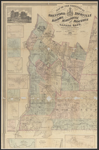
Map of the counties of Shefford, Iberville, Brome, Missisquoi, and Rouville, Canada East
2.
Map of the Eastern Railroad and principal connections
3.
A map of Upper and Lower Canada : with part of the United States adjoining, comprising the present seat of war
4.
North America : British provinces of New Brunswick, Nova Scotia, & part of Canada : compiled from recent surveys and adjusted...
5.
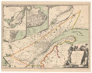
Carte du gouvernement de Montréal
6.
The Cedres
7.
Continuation of the Grande Riviere with the village of Fariole lying near Cape Torment on the north shore
8.
French draught of Lake Champlain & Lake George with remarks of an English prisoner who return'd from Quebec to Fort Edward by...
9.
A new map of the province of Quebec, according to the royal proclamation, of the 7.th of October 1763 : from the French surveys...
10.
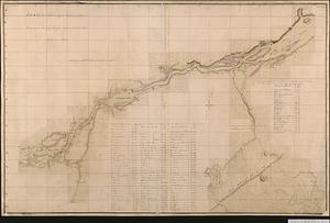
A plan of a rout from Fort Pownall on the river Penobscot in New England to Quebec and from Quebec to Fort Pownall : taken by...
11.
Plan of Canada or the province of Quebec from the uppermost settlements to the island of Coudre as surveyed by order of his...
12.
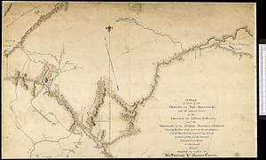
A plan of part of the province of New Brunswick, with the adjacent parts of the province of Lower Canada, and the territory of...
13.
A plan of that part of the province of Lower Canada, lying between the rivers Saint Lawrence, Richelieu & the province line
14.
Proposed division line for Upper and Lower Canada
15.
Sketch of different passes into Canada from our lower provinces
16.
Sketch of the river St. Lawrence from Montreal to the island St. Barnaby on the south side and the islands of Jeremy on the...
17.
Sketch of the river St: Lawrence from Montreal to the island St: Barnaby on the south side, and the islands of Jeremy on the...
18.
Sketch of the seven dangerous rappids with their true channel : also the appearance the river makes at those places between...
19.
Topographical map of the province of New Hampshire, including Montresor's survey of the St. Lawrence and the Kennebec route to...
20.
The 100th anniversary map of Abraham Lincoln's visit to Massachusetts, September 11-23, 1848
‹ Prev
Next ›
1
2
3
4
5
…
296
297