Toggle navigation
LMEC Home
Exhibitions
Georeferencing
Tools for Teachers
Collections
My Favorites
Sign Up / Log In
Search
Search the map portal
Map Collection
Map Collection
Map Sets
Search
Search
Search for
Search In
All Fields
Creator
Title
Subject
Place
Search All Digital Collections
Advanced Search
1018 Results
My Search
Start Over
More Like
commonwealth:1257bc158
Remove constraint More Like: commonwealth:1257bc158
Place
Boston
Remove constraint Place: Boston
Filter your Search
Place
Boston
[remove]
1,018
Massachusetts
1,017
North and Central America
1,017
Suffolk (county)
1,017
United States
1,017
Roxbury
48
Dorchester
39
Charlestown
36
more
Place
»
Topic
Boston (Mass.)--Maps
580
Real property--Massachusetts--Boston--Maps
175
Landowners--Massachusetts--Boston--Maps
133
City planning--Massachusetts--Boston--Maps
67
Local transit--Massachusetts--Boston--Maps
47
Roxbury (Boston, Mass.)--Maps
44
Massachusetts--Maps
41
Boston (Mass.)--Aerial views
39
more
Topic
»
Date
Date range begin
–
Date range end
Current results range from
1723
to
2023
1723 : 2024
1723
2024
1725
1750
1775
1800
1825
1850
1875
1900
1925
1950
1975
2000
Creator
Boston Redevelopment Authority
70
Bromley, George Washington
44
Bromley, Walter Scott
44
Geo. H. Walker & Co
28
G.W. Bromley & Co.
22
Boston (Mass.). Engineering Dept
21
Sampson, Davenport & Co
21
Sampson, Murdock & Co
21
more
Creator
»
Format
Maps/Atlases
1,012
Manuscripts
33
Drawings/Illustrations
7
Objects/Artifacts
2
Posters
1
Prints
1
Georeferenced
Yes
116
No
902
Collection
Norman B. Leventhal Map & Education Center Collection
1,018
Boston and New England Maps
846
Urban Maps
708
Boston Redevelopment Authority Collection
87
American Revolutionary War-Era Maps
46
Maritime Charts and Atlases
6
Available to use
No known restrictions
992
Creative Commons license
24
Search Constraints
Sort by relevance
relevance
title
date (asc)
date (desc)
Number of results to display per page
20 per page
10
per page
20
per page
50
per page
100
per page
View results as:
grid view
map view
Search Results
1.
Insurance map of Charlestown : portions of Roxbury (now annexed to Boston) and Cambridge : 1868 : corrected Nov. 1871
2.
Insurance map of Charlestown : portions of Roxbury (now annexed to Boston) and Cambridge
3.
Insurance maps of Boston volume 4 : comprising portions of Charlestown, East Cambridge, Cambridge Port, Old Cambridge & Somerville
4.
Map of central Boston and Cambridge
5.
Map of the cities of Boston, Cambridge, Somerville and Chelsea, and the town of Brookline with parts of Newton, Malden and...
6.
[Mill dam survey : Boston, Roxbury, Brookline &c.]
7.
A new & complete map of the city of Boston, with part of Charlestown, Cambridge & Roxbury
8.
A new & complete map of the city of Boston, with part of Charlestown, Cambridge & Roxbury
9.
A new & complete map of the city of Boston, with part of Charlestown, Cambridge & Roxbury
10.
Proposed Charles River Park
11.
Proposed Charles River Park
12.
1630 shoreline
13.
660 Wakulah St., Roxbury
14.
An accurate map of the country round Boston in New England from the best authorities
15.
Aerial photograph of South Boston
16.
Aerial photograph of South Boston
17.
Allston Park, Boston, Mass
18.
Allston-Brighton open space plan site inventory
19.
[An unfinished tracing of Joshua Fisher's copy on parchment of Oliver's paper plat of land in Dorchester, made in 1661]
20.
Annexation map
+
-
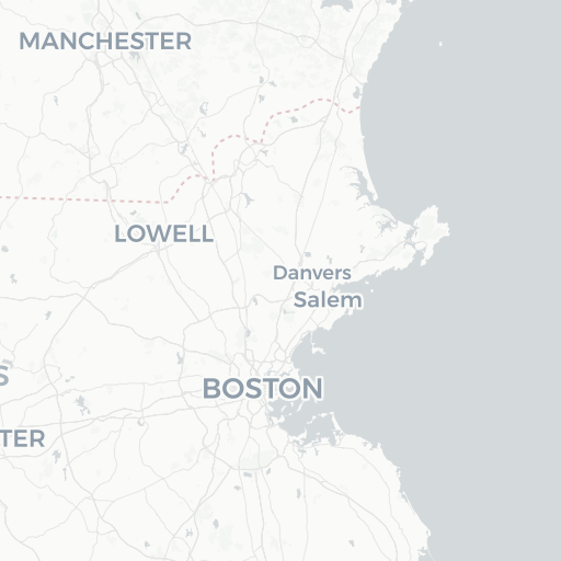
Redo search here
Search when I move the map
Leaflet
| ©
OpenStreetMap
contributors, ©
CartoDB
‹ Prev
Next ›
1
2
3
4
5
…
50
51


![[An unfinished tracing of Joshua Fisher's copy on parchment of Oliver's paper plat of land in Dorchester, made in 1661]](https://bpldcassets.blob.core.windows.net/derivatives/images/commonwealth:wd376179d/image_thumbnail_300.jpg)