Toggle navigation
LMEC Home
Exhibitions
Georeferencing
Tools for Teachers
Collections
My Favorites
Sign Up / Log In
Search
Search the map portal
Map Collection
Map Collection
Map Sets
Search
Search
Search for
Search In
All Fields
Creator
Title
Subject
Place
Search All Digital Collections
Advanced Search
8556 Results
My Search
Start Over
More Like
commonwealth:4m90f3073
Remove constraint More Like: commonwealth:4m90f3073
Available to use
No known restrictions
Remove constraint Available to use: No known restrictions
Filter your Search
Place
North and Central America
5,813
United States
4,732
Massachusetts
2,041
Europe
1,394
Suffolk (county)
1,019
Boston
993
Canada
449
Asia
425
more
Place
»
Topic
Boston (Mass.)--Maps
574
United States--Maps
209
Real property--Massachusetts--Boston--Maps
173
Massachusetts--Maps
154
Landowners--Massachusetts--Boston--Maps
132
North America--Maps--Early works to 1800
103
New England--Maps
102
Europe--Maps
79
more
Topic
»
Date
Date range begin
–
Date range end
Current results range from
1482
to
2022
1482 : 2023
1482
2023
View distribution
Creator
United States. Hydrographic Office
595
O.H. Bailey & Co
148
Des Barres, Joseph F. W. (Joseph Frederick Wallet), 1722-1824
123
United States. Post Office Dept
120
Ptolemy, 2nd cent
100
Walling, Henry Francis, 1825-1888
94
Geological Survey (U.S.)
86
Jefferys, Thomas, -1771
84
more
Creator
»
Format
Maps/Atlases
8,496
Manuscripts
217
Prints
56
Books
35
Objects/Artifacts
10
Drawings/Illustrations
8
Posters
5
Georeferenced
Yes
836
No
7,720
Collection
Norman B. Leventhal Map & Education Center Collection
8,552
Boston and New England Maps
2,197
Urban Maps
2,008
Maritime Charts and Atlases
1,082
American Revolutionary War-Era Maps
618
Boston Redevelopment Authority Collection
87
New-York Historical Society Collection
4
Available to use
No known restrictions
[remove]
8,556
Search Constraints
Sort by relevance
relevance
title
date (asc)
date (desc)
Number of results to display per page
20 per page
10
per page
20
per page
50
per page
100
per page
View results as:
grid view
map view
Search Results
1.
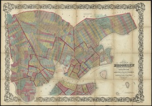
Map of the City of Brooklyn as consolidated by an act of the legislature of the State of New York : including Brooklyn,...
2.
Part of Flushing, town of Flushing, Queens Co.
3.
Plan of a part of New Brighton, Staten Island, showing the 500 blocks comprised in a proposed sale of lots
4.
Plan of the city of New York in North America : surveyed in the years 1766 & 1767
5.
A plan of the City of New York from an actual survey anno domini MDCCLV
6.
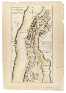
A Topographical map of the northn. part of New York Island, exhibitg. the plan of Fort Washington now Fort Knyphausen, with the...
7.
This plan of the City of New York (within the palisades which were erected in the year 1743) was made for the purpose of...
8.
The city of New York as laid out by the Commissioners with the surrounding country
9.
Map of New York and vicinity
10.
Ground plan of the markets of the City of New-York
11.
Insurance maps of the city of New York
12.
Map of the original grants of village lots from the Dutch West India Company to the inhabitants of New-Amsterdam (now New-York)...
13.
The 100th anniversary map of Abraham Lincoln's visit to Massachusetts, September 11-23, 1848
14.
1630 shoreline
15.
1879. Progress map of the U.S. Geographical Surveys west of the 100th Meridian : prepared under the direction of 1st Lieut....
16.
1903 Map of Salem and surrounding places
17.
19th annual convention of the National Association of Real Estate Boards : at Tulsa, June 7 to June 11 in 1926
18.
2005 significant U.S. hurricane strikes
19.
227 Harzgerode
20.
305 Glatz
+
-
Redo search here
Search when I move the map
Leaflet
| ©
OpenStreetMap
contributors, ©
CartoDB
‹ Prev
Next ›
1
2
3
4
5
…
427
428