Toggle navigation
LMEC Home
Exhibitions
Georeferencing
Tools for Teachers
Collections
My Favorites
Sign Up / Log In
Search
Search the map portal
Map Collection
Map Collection
Map Sets
Search
Search
Search for
Search In
All Fields
Creator
Title
Subject
Place
Search All Digital Collections
Advanced Search
13655 Results
Filter your Search
Place
North and Central America
10,321
United States
8,452
Massachusetts
2,784
Suffolk (county)
1,677
Boston
1,633
Europe
1,413
Canada
950
New York
649
more
Place
»
Topic
Boston (Mass.)--Maps
747
City planning--Massachusetts--Boston--Maps
418
United States--History--Revolution, 1775-1783--Maps
329
United States--Maps
321
Real property--Massachusetts--Boston--Maps
254
Urban renewal--Massachusetts--Boston--Maps
254
Massachusetts--Maps
231
Insurance surveys
197
more
Topic
»
Date
Date range begin
–
Date range end
Current results range from
1482
to
2023
View distribution
Creator
United States. Hydrographic Office
597
Boston Redevelopment Authority
404
Des Barres, Joseph F. W. (Joseph Frederick Wallet), 1722-1824
247
Royal United Services Institute for Defence and Security Studies
160
Jefferys, Thomas, -1771
154
George, III, King of Great Britain, 1738-1820
152
George, IV, King of Great Britain, 1762-1830
151
O.H. Bailey & Co
148
more
Creator
»
Format
Maps/Atlases
13,474
Manuscripts
985
Prints
102
Books
49
Drawings/Illustrations
44
Photographs
15
Objects/Artifacts
13
Documents
7
more
Format
»
Georeferenced
Yes
979
No
12,676
Collection
Norman B. Leventhal Map & Education Center Collection
9,088
American Revolutionary War-Era Maps
3,305
Boston and New England Maps
2,909
Urban Maps
2,465
Maritime Charts and Atlases
1,169
William L. Clements Library Collection
910
Library of Congress Collection
618
Boston Redevelopment Authority Collection
475
more
Collection
»
Available to use
No known restrictions
10,222
Creative Commons license
1,677
Search Constraints
Sort by relevance
relevance
title
date (asc)
date (desc)
Number of results to display per page
20 per page
10
per page
20
per page
50
per page
100
per page
View results as:
grid view
map view
Search Results
5481.
[Map of Spanish Louisiana and the American colonies]
5482.
[Map of Spanish Louisiana and the American colonies]
5483.
Map of Springfield, Massachusetts
5484.
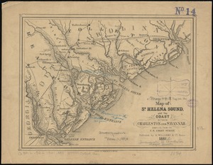
Map of St. Helena Sound, and the coast between Charleston and Savannah
5485.
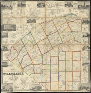
Map of St. Lawrence Co. New York
5486.
Map of St. Louis city & county : prepared for City Plan Report of The Civic League showing proposed improvements
5487.
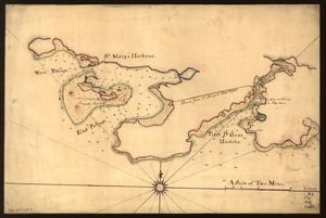
Map of St. Mary's and Petit d'Grat Harbour
5488.
Map of St. Paul
5489.
Map of Stony and Verplanck Points on the Hudson River as fortified by Sir Henry Clinton June 1779
5490.
Map of street railways in eastern Massachusetts
5491.
A map of such parts of Georgia and South Carolina as tend to illustrate the progress and operations of the British Army, &c
5492.
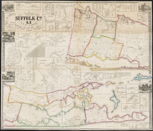
Map of Suffolk Co., L.I., New York : from actual surveys
5493.
Map of Summit Co., Ohio
5494.
Map of Surf-Side, the property of the Nantucket Surf-Side Company
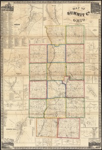
5495.
Map of Swampscott, Nahant & Saugus
5496.
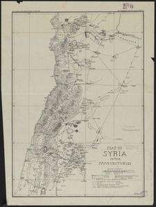
Map of Syria in the IV-V-VI centuries
5497.
Map of Taunton
5498.
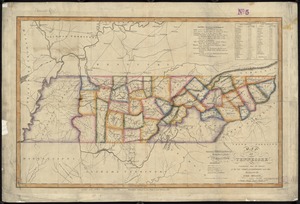
Map of Tennessee
5499.
A map of Terra Firma Peru, Amazone-land, Brasil & the north p[art] of La Plata
5500.
Map of Texas and parts of adjoining territories
‹ Prev
Next ›
1
2
…
271
272
273
274
275
276
277
278
279
…
682
683
![[Map of Spanish Louisiana and the American colonies]](https://bpldcassets.blob.core.windows.net/derivatives/images/commonwealth:z603vq85r/image_thumbnail_300.jpg)
![[Map of Spanish Louisiana and the American colonies]](https://bpldcassets.blob.core.windows.net/derivatives/images/commonwealth:z603vp210/image_thumbnail_300.jpg)


![A map of Terra Firma Peru, Amazone-land, Brasil & the north p[art] of La Plata](https://bpldcassets.blob.core.windows.net/derivatives/images/commonwealth:xg94j123n/image_thumbnail_300.jpg)
