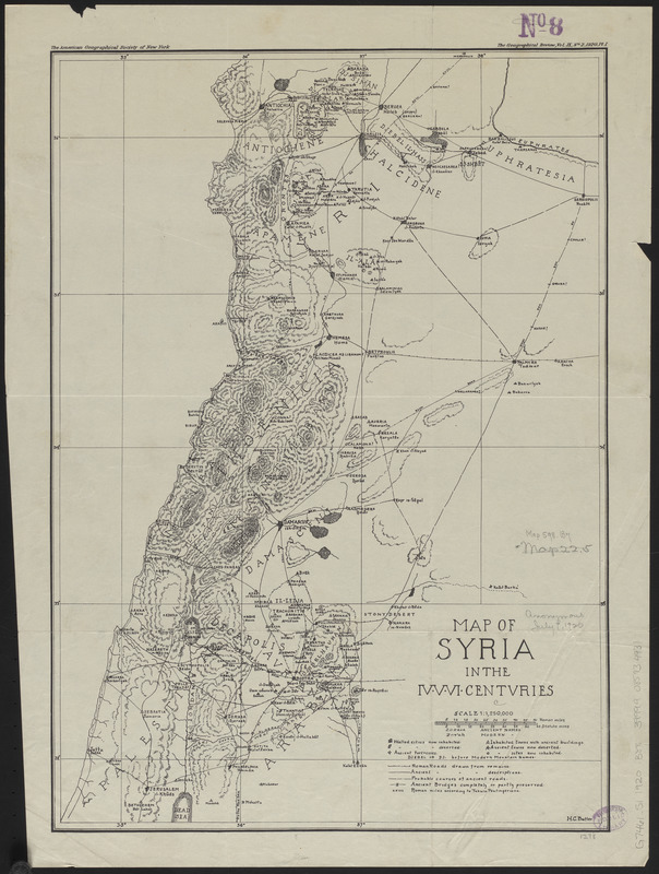
Map of Syria in the IV-V-VI centuries
Item Information
- Title:
- Map of Syria in the IV-V-VI centuries
- Title (alt.):
-
Map of Syria in the fourth, fifth, sixth centuries
- Cartographer:
- Butler, Howard Crosby, 1872-1922
- Publisher:
- American Geographical Society of New York
- Name on Item:
-
H.C. Butler
- Date:
-
1920
- Format:
-
Maps/Atlases
- Location:
-
Boston Public Library
Norman B. Leventhal Map & Education Center - Collection (local):
-
Norman B. Leventhal Map & Education Center Collection
- Subjects:
-
Syria--Historical geography--Maps
Syria--History--333 B.C.-634 A.D--Maps
Syria--Maps
- Places:
-
Syria (historical) (area)
- Extent:
- 1 map ; 44 x 31 cm
- Terms of Use:
-
No known copyright restrictions.
No known restrictions on use.
- Publisher:
-
[New York, N.Y.] :
[American Geographical Society of New York]
- Scale:
-
Scale 1:1,250,000
- Language:
-
English
- Notes:
-
Relief shown by hachures.
From "The Geographical Review, vol. IX, no. 2, 1920, PL. I."
- Identifier:
-
06_01_015342
- Call #:
-
G7461.S1 1920 .B88
- Barcode:
-
39999085934931


