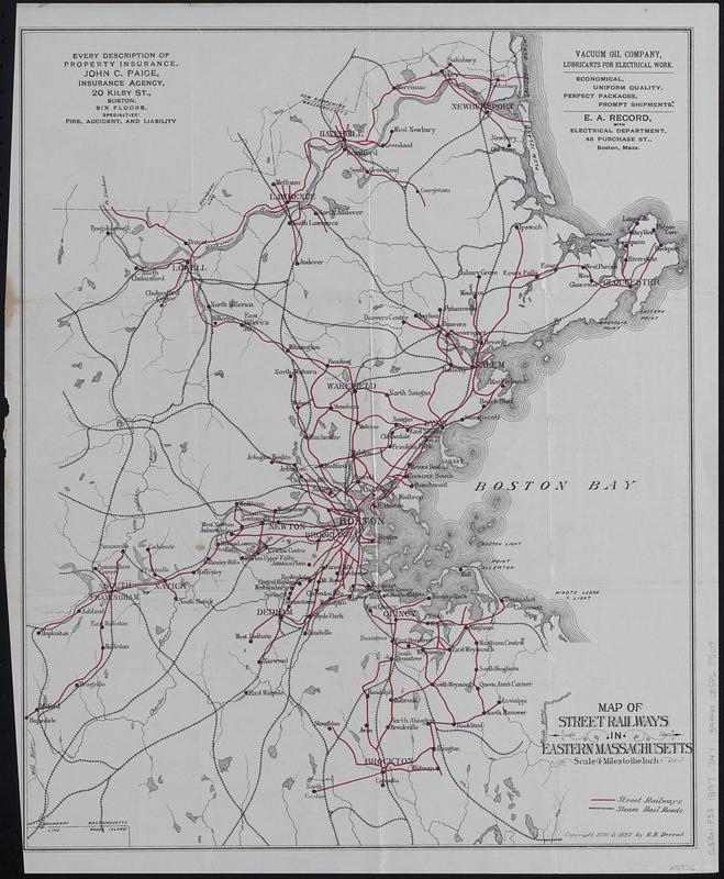
Map of street railways in eastern Massachusetts

Item Information
- Title:
- Map of street railways in eastern Massachusetts
- Cartographer:
- Derrah, Robert H.
- Date:
-
1897
- Format:
-
Maps/Atlases
- Location:
-
Boston Public Library
Norman B. Leventhal Map & Education Center - Collection (local):
-
Norman B. Leventhal Map & Education Center Collection
- Subjects:
-
Massachusetts--Maps
Street-railroads--Massachusetts--Maps
Railroads--Massachusetts--Maps
- Places:
-
Massachusetts
- Extent:
- 1 map : color ; 41 x 33 cm, folded to 15 x 9 cm
- Terms of Use:
-
No known copyright restrictions.
No known restrictions on use.
- Publisher:
-
[Boston, Mass.?] :
[R.H. Derrah?]
- Scale:
-
Scale 1:253,440. 4 miles to the inch
- Language:
-
English
- Notes:
-
Shows street railway lines and steam rail roads in eastern Massachusetts.
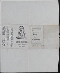
Includes advertisements.
"Copyright, 1896 & 1897, by R.H. Derrah."
Advertisements on verso.
- Identifier:
-
06_01_018554
- Call #:
-
G3761.P33 1897 .D47
- Barcode:
-
39999085968509

![[Boston and Northwestern Junction Railroad]](https://bpldcassets.blob.core.windows.net/derivatives/images/commonwealth:x059cc74n/image_thumbnail_300.jpg)


