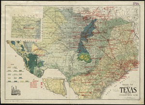
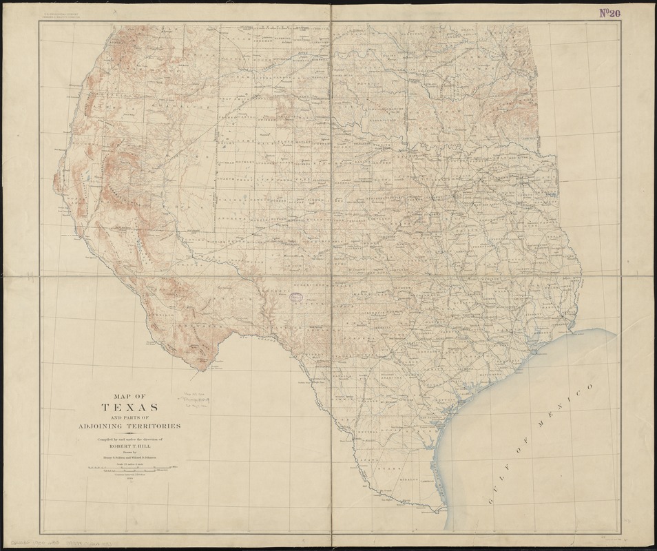
Map of Texas and parts of adjoining territories
Item Information
- Title:
- Map of Texas and parts of adjoining territories
- Creator:
- Hill, Robert T.
- Name on Item:
-
compiled by and under the direction of Robert T. Hill ; drawn by Henry S. Selden and Willard D. Johnson.
- Date:
-
1900
- Format:
-
Maps/Atlases
- Location:
-
Boston Public Library
Norman B. Leventhal Map & Education Center - Collection (local):
-
Norman B. Leventhal Map & Education Center Collection
- Subjects:
-
Texas--Maps
- Places:
-
Texas
- Extent:
- 1 map : col. ; 79 x 89 cm.
- Terms of Use:
-
No known copyright restrictions.
No known restrictions on use.
- Publisher:
-
[Washington] :
U.S. Geological Survey
- Edition:
- April 1900.
- Scale:
-
Scale [1:1,584,000]. 25 mi. = 1 in.
- Language:
-
English
- Notes:
-
Relief shown by contours.
Below scale: 1899.
- Identifier:
-
06_01_011077
- Call #:
-
G4030 1900 .H55
- Barcode:
-
39999065681593