Search Constraints
Search Results


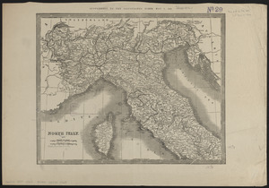
7466. North Italy
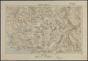
7467. North Korea
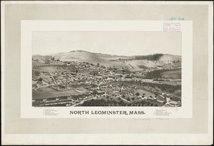
7468. North Leominster, Mass
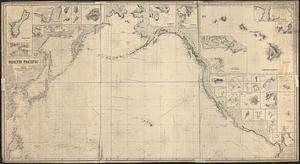
7469. North Pacific
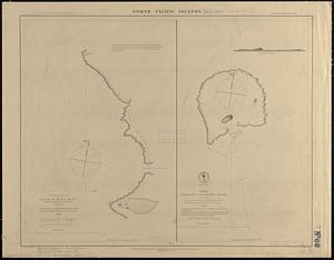
7470. North Pacific islands

7471. North Pacific Islands
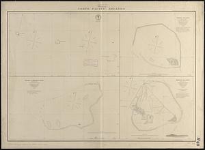
7472. North Pacific islands
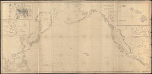
7473. North Pacific Ocean