Toggle navigation
LMEC Home
Exhibitions
Georeferencing
Tools for Teachers
Collections
My Favorites
Sign Up / Log In
Search
Search the map portal
Map Collection
Map Collection
Map Sets
Search
Search
Search for
Search In
All Fields
Creator
Title
Subject
Place
Search All Digital Collections
Advanced Search
13680 Results
Filter your Search
Place
North and Central America
10,344
United States
8,475
Massachusetts
2,789
Suffolk (county)
1,677
Boston
1,633
Europe
1,415
Canada
950
New York
649
more
Place
»
Topic
Boston (Mass.)--Maps
747
City planning--Massachusetts--Boston--Maps
418
United States--History--Revolution, 1775-1783--Maps
329
United States--Maps
322
Real property--Massachusetts--Boston--Maps
254
Urban renewal--Massachusetts--Boston--Maps
254
Massachusetts--Maps
231
Insurance surveys
197
more
Topic
»
Date
Date range begin
–
Date range end
Current results range from
1482
to
2023
View distribution
Creator
United States. Hydrographic Office
597
Boston Redevelopment Authority
404
Des Barres, Joseph F. W. (Joseph Frederick Wallet), 1722-1824
247
Royal United Services Institute for Defence and Security Studies
160
Jefferys, Thomas, -1771
154
George, III, King of Great Britain, 1738-1820
152
George, IV, King of Great Britain, 1762-1830
151
O.H. Bailey & Co
148
more
Creator
»
Format
Maps/Atlases
13,499
Manuscripts
985
Prints
102
Books
49
Drawings/Illustrations
44
Photographs
15
Objects/Artifacts
13
Documents
7
more
Format
»
Georeferenced
Yes
979
No
12,701
Collection
Norman B. Leventhal Map & Education Center Collection
9,096
American Revolutionary War-Era Maps
3,305
Boston and New England Maps
2,915
Urban Maps
2,471
Maritime Charts and Atlases
1,169
William L. Clements Library Collection
910
Library of Congress Collection
618
Boston Redevelopment Authority Collection
475
more
Collection
»
Available to use
No known restrictions
10,246
Creative Commons license
1,678
Search Constraints
Sort by relevance
relevance
title
date (asc)
date (desc)
Number of results to display per page
20 per page
10
per page
20
per page
50
per page
100
per page
View results as:
grid view
map view
Search Results
5361.
Map of New-York Bay and Harbor and the environs
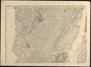
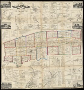
5362.
Map of Niagara and Orleans Counties, New York
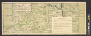
5363.
Map of Niagara River or streights between the lakes Erie and Ontario with the islands, falls, and rapids therein, as also the...
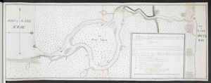
5364.
A Map of Niagara River or ye Straights between the Lakes Erie and Ontario with the Islands, Falls, and Rapids, as also the...
5365.
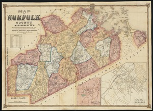
Map of Norfolk County, Massachusetts : based upon the trigonometrical survey of the state
5366.
Map of North America : showing all routes to Alaska and Klondike country
5367.
Map of North America
5368.
Map of North America : reduced from map on scale of 1:5,000,000
5369.
Map of North America
5370.
Map of North America : to illustrate facts of geographical distribution
5371.
A map of North America, & the West India Islands, with part of South America, Europe, Africa & the Atlantic Ocean with it's...
5372.
A map of North America and the West Indies
5373.
A map of North America, denoting the boundaries of the yearly meetings of Friends and the locations of the various Indian tribes
5374.
Map of North America from 20 to 80 degrees north latitude : exhibiting the recent discoveries, geographical and nautical; drawn...
5375.
A Map of North America from the latest discoveries 1798
5376.
Map of North America showing the two lines of frontier as settled in October and November 1782 respectively by Mr. Oswald, the...
5377.
A map of North America, with the European settlements & whatever else is remarkable in ye West Indies, from the latest and best...
5378.
Map of North Carolina
5379.
Map of North Carolina
5380.
Map of north eastern China
‹ Prev
Next ›
1
2
…
265
266
267
268
269
270
271
272
273
…
683
684