Toggle navigation
LMEC Home
Exhibitions
Georeferencing
Tools for Teachers
Collections
My Favorites
Sign Up / Log In
Search
Search the map portal
Map Collection
Map Collection
Map Sets
Search
Search
Search for
Search In
All Fields
Creator
Title
Subject
Place
Search All Digital Collections
Advanced Search
10951 Results
My Search
Start Over
All Fields
americas
Remove constraint All Fields: americas
Filter your Search
Place
North and Central America
10,344
United States
8,469
Massachusetts
2,789
Suffolk (county)
1,675
Boston
1,631
Canada
937
New York
649
Middlesex (county)
441
more
Place
»
Topic
Boston (Mass.)--Maps
746
City planning--Massachusetts--Boston--Maps
418
United States--History--Revolution, 1775-1783--Maps
327
United States--Maps
320
Real property--Massachusetts--Boston--Maps
254
Urban renewal--Massachusetts--Boston--Maps
254
Massachusetts--Maps
231
Insurance surveys
194
more
Topic
»
Date
Date range begin
–
Date range end
Current results range from
1507
to
2023
View distribution
Creator
Boston Redevelopment Authority
404
United States. Hydrographic Office
366
Des Barres, Joseph F. W. (Joseph Frederick Wallet), 1722-1824
197
Jefferys, Thomas, -1771
150
George, III, King of Great Britain, 1738-1820
146
O.H. Bailey & Co
146
George, IV, King of Great Britain, 1762-1830
145
Royal United Services Institute for Defence and Security Studies
139
more
Creator
»
Format
Maps/Atlases
10,828
Manuscripts
916
Prints
60
Books
43
Drawings/Illustrations
43
Photographs
15
Objects/Artifacts
7
Posters
3
more
Format
»
Georeferenced
Yes
823
No
10,128
Collection
Norman B. Leventhal Map & Education Center Collection
6,627
American Revolutionary War-Era Maps
3,123
Boston and New England Maps
2,912
Urban Maps
2,289
William L. Clements Library Collection
892
Maritime Charts and Atlases
816
Library of Congress Collection
552
Boston Redevelopment Authority Collection
475
more
Collection
»
Available to use
No known restrictions
7,767
Creative Commons license
1,541
Search Constraints
Sort by relevance
relevance
title
date (asc)
date (desc)
Number of results to display per page
20 per page
10
per page
20
per page
50
per page
100
per page
View results as:
grid view
map view
Search Results
221.
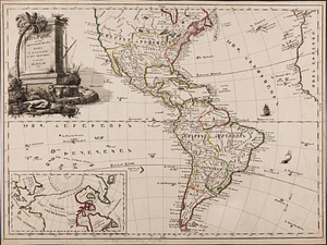
America, engraved according to recent geographical observations
222.
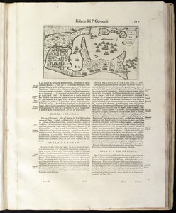
Isola e citta di Cartagena nell' America
223.
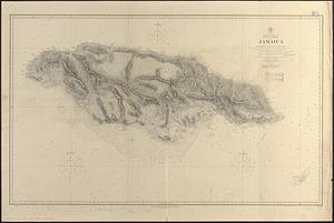
North America, east coast, West Indies, Jamaica : from British surveys from 1873 to 1881
224.
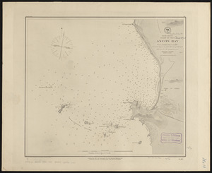
South America, coast of Peru, Ancon Bay : from an Italian survey in 1883
225.
South America, coast of Peru, Pisco Bay : from the latest French and English charts, 1885
226.
Map of the United States of America
227.
The United States of America circa 1900
228.
North America, River St. Lawrence above Quebec
229.
North America, River St. Lawrence above Quebec
230.
North America, River St. Lawrence, Montreal Harbour
231.
South America-- west coast, Chile, Concepcion Bay : from British and French surveys
232.
Map of the middle states of America : comprehends New-York, New-Jersey, Pennsylvania, Delaware, and the territory N.W. of Ohio
233.
North America, Gulf of Mexico, Coatzacoalcos River : from a survey by the U.S. Tehuantepec Expedition, in 1870-71, Captain...
234.
A mapp of New Jersey in America
235.
North America, Newfoundland, Twillingate Harbors (Toulinguet Harbors) : from a British survey in 1877
236.
Map of the middle states of America : comprehends New-York, New-Jersey, Pennsylvania, Delaware, and the territory N:W: of Ohio
237.
Map of the middle states of America : comprehends New-York, New-Jersey, Pennsylvania, Delaware, and the territory N:W: of Ohio
238.
South America, west coast, Ecuador, Guayaquil River : from a British survey in 1847, corrected to 1876 ; republication of Brit....
239.
South America--west coast, Patagonia, Concepcion Channel
240.
South America, Tierra del Fuego, Goree Road : from a British survey corrected to 1877
‹ Prev
Next ›
1
2
…
8
9
10
11
12
13
14
15
16
…
547
548