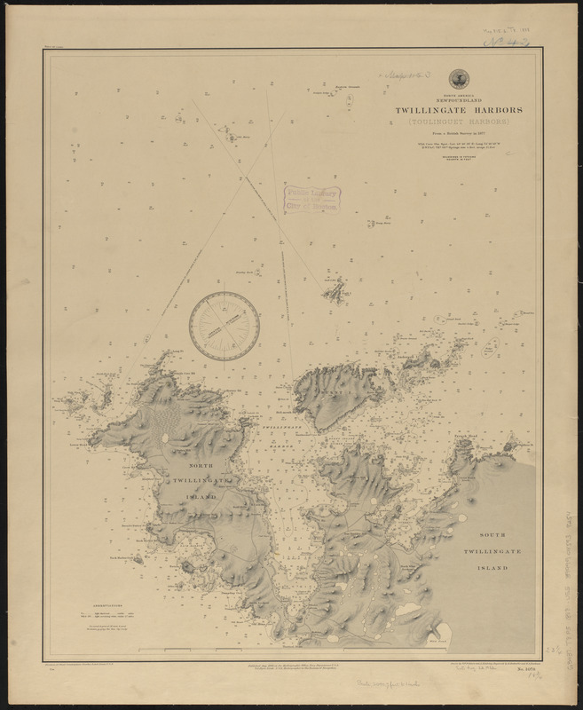
North America, Newfoundland, Twillingate Harbors (Toulinguet Harbors) : from a British survey in 1877
Item Information
- Title:
- North America, Newfoundland, Twillingate Harbors (Toulinguet Harbors) : from a British survey in 1877
- Title (alt.):
-
Twillingate Harbors (Toulinguet Harbors)
- Issuing body:
- United States. Hydrographic Office
- Name on Item:
-
drawn by G.F. Pohlers and A. Klakring ; engraved by E. Enthoffer and E.A. Ruebsam
- Date:
-
1888
- Format:
-
Maps/Atlases
- Location:
-
Boston Public Library
Norman B. Leventhal Map & Education Center - Collection (local):
-
Norman B. Leventhal Map & Education Center Collection
- Subjects:
-
Nautical charts--Newfoundland and Labrador--Twillingate Harbour
Twillingate Harbour (N.L.)--Maps
- Places:
-
CanadaNewfoundland and Labrador (province)
Cairn Gorin
- Extent:
- 1 map ; 60 x 48 cm
- Terms of Use:
-
No known copyright restrictions.
No known restrictions on use.
- Publisher:
-
[Washington, D.C.] :
Hydrographic Office
- Scale:
-
Scale approximately 1:18,300
- Language:
-
English
- Notes:
-
Relief shown by hachures and spot heights. Depths shown by soundings and isolines.
- Identifier:
-
06_01_015553
- Call #:
-
G9096.P5 svar .U55
- Barcode:
-
39999085938254


