North America, Gulf of Mexico, Coatzacoalcos River : from a survey by the U.S. Tehuantepec Expedition, in 1870-71, Captain Robert W. Shufeldt, U.S.N., comdg
Item Information
- Title:
- North America, Gulf of Mexico, Coatzacoalcos River : from a survey by the U.S. Tehuantepec Expedition, in 1870-71, Captain Robert W. Shufeldt, U.S.N., comdg
- Title (alt.):
-
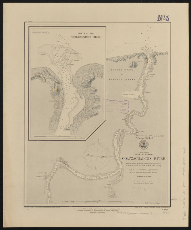
Coatzacoalcos River
- Issuing body:
- United States. Hydrographic Office
- Engraver:
- Franke, M. (Max)
- Draftsman:
- Latimer, J. S. (Joseph S.)
- Engraver:
- Ruebsam, E. A. (E. August)
- Name on Item:
-
drawn by Jos. S, Latimer ; engraved by M. Franke and E.A. Ruebsam
- Date:
-
1888
- Format:
-
Maps/Atlases
- Location:
-
Boston Public Library
Norman B. Leventhal Map & Education Center - Collection (local):
-
Norman B. Leventhal Map & Education Center Collection
- Subjects:
-
Nautical charts--Mexico--Coatzacoalcos River
Coatzacoalcos River (Mexico)--Maps
- Places:
-
MexicoMéxicoCoatzacoalcos, Río (stream)
- Extent:
- 1 map : hand colored ; 38 x 30 cm
- Terms of Use:
-
No known copyright restrictions.
No known restrictions on use.
- Publisher:
-
Washington, D.C. :
Hydrographic Office
- Edition:
- Edition of October 1888
- Scale:
-
Scale approximately 1:74,500
- Language:
-
English
- Notes:
-
Relief shown by shading and form lines. Depths shown by soundings and isolines.
Inset: Mouth of the Coatzacoalcos River.
- Identifier:
-
06_01_015633
- Call #:
-
G9096.P5 svar .U55
- Barcode:
-
39999085938668


