Toggle navigation
LMEC Home
Exhibitions
Georeferencing
Tools for Teachers
Collections
My Favorites
Sign Up / Log In
Search
Search the map portal
Map Collection
Map Collection
Map Sets
Search
Search
Search for
Search In
All Fields
Creator
Title
Subject
Place
Search All Digital Collections
Advanced Search
10836 Results
My Search
Start Over
All Fields
americas
Remove constraint All Fields: americas
Filter your Search
Place
North and Central America
10,232
United States
8,361
Massachusetts
2,778
Suffolk (county)
1,673
Boston
1,629
Canada
936
New York
640
Middlesex (county)
438
more
Place
»
Topic
Boston (Mass.)--Maps
745
City planning--Massachusetts--Boston--Maps
418
United States--History--Revolution, 1775-1783--Maps
327
United States--Maps
319
Real property--Massachusetts--Boston--Maps
254
Urban renewal--Massachusetts--Boston--Maps
254
Massachusetts--Maps
230
Insurance surveys
194
more
Topic
»
Date
Date range begin
–
Date range end
Current results range from
1507
to
2023
View distribution
Creator
Boston Redevelopment Authority
404
United States. Hydrographic Office
365
Des Barres, Joseph F. W. (Joseph Frederick Wallet), 1722-1824
197
Jefferys, Thomas, -1771
150
George, III, King of Great Britain, 1738-1820
146
O.H. Bailey & Co
146
George, IV, King of Great Britain, 1762-1830
145
Royal United Services Institute for Defence and Security Studies
139
more
Creator
»
Format
Maps/Atlases
10,713
Manuscripts
916
Prints
60
Books
43
Drawings/Illustrations
43
Photographs
15
Objects/Artifacts
7
Posters
3
more
Format
»
Georeferenced
Yes
823
No
10,013
Collection
Norman B. Leventhal Map & Education Center Collection
6,600
American Revolutionary War-Era Maps
3,123
Boston and New England Maps
2,897
Urban Maps
2,277
William L. Clements Library Collection
892
Maritime Charts and Atlases
814
Library of Congress Collection
552
Boston Redevelopment Authority Collection
475
more
Collection
»
Available to use
No known restrictions
7,653
Creative Commons license
1,540
Search Constraints
Sort by relevance
relevance
title
date (asc)
date (desc)
Number of results to display per page
20 per page
10
per page
20
per page
50
per page
100
per page
View results as:
grid view
map view
Search Results
181.
A general map of North America : in which is express'd the several new roads, forts, engagements, &c, taken from actual surveys...
182.
A General map of North America; : from the latest observations
183.
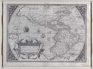
Americae sive novi orbis, nova descriptio.
184.
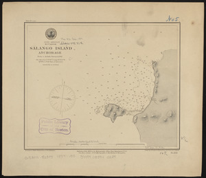
South America, Ecuador, Salango Island anchorage : from a British survey in 1847
185.
The United States of North America : with the British & Spanish territories according to the treaty
186.
Die Vereinigten Staaten von Nord-America : nach den sichersten Bestimmungen, neuesten Nachrichten und Charten, in der...
187.
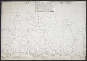
A MAPP OF PENSYLVANIA IN AMERICA
188.
The United States of North America : with the British territories and those of Spain according to the treaty of 1784
189.
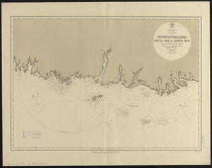
North America, south coast of Newfoundland : Devil Bay to Knife Bay : from a British survey in 1872 & 1873 ; republication of...
190.
Plan von Halifax in Nord-America
191.
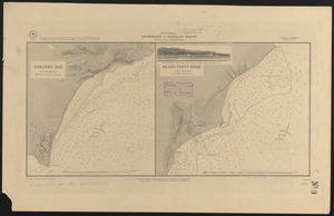
Central America, British Honduras, Belize Harbor : from a British Survey in 1829 & 30
192.
North America, Gulf of Saint Lawrence : compiled from the latest information
193.
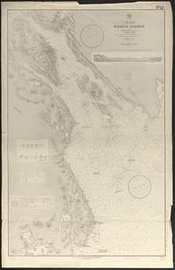
South America, Ecuador, Santa Eléna Bay : from a British survey in 1847
194.
North America, Newfoundland, Saint John's Harbor : from a British survey in 1885
195.
North America, Nova Scotia, Halifax Harbor : from the latest British surveys
196.
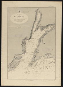
North America, Newfoundland, La Poile Bay : from the latest British surveys
197.
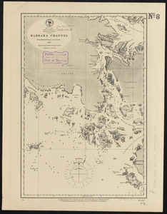
South America, Magellan Strait, Barbara Channel : from British surveys corrected to 1878
198.
South America, anchorages in Magellan Strait : from the most recent British surveys
199.
South extreme of America, Wollaston Islands : from British surveys corrected to 1878
200.
North America, east coast of Central America, Cape Gracias á Dios to Gulf of Darien : compiled from the latest British surveys...
‹ Prev
Next ›
1
2
…
6
7
8
9
10
11
12
13
14
…
541
542