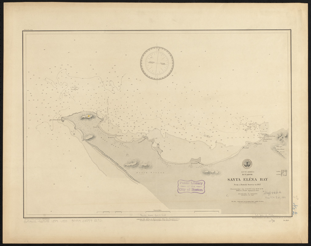
South America, Ecuador, Santa Eléna Bay : from a British survey in 1847
Item Information
- Title:
- South America, Ecuador, Santa Eléna Bay : from a British survey in 1847
- Title (alt.):
-
Santa Eléna Bay
- Issuing body:
- United States. Hydrographic Office
- Engraver:
- Franke, M. (Max)
- Draftsman:
- Klakring, A. (Alfred)
- Draftsman:
- Latimer, J. S. (Joseph S.)
- Engraver:
- Ourdan, V. L. (Vincent L.)
- Name on Item:
-
drawn by J.S. Latimer and A. Klakring ; engraved by M. Franke and V.L. Ourdan
- Date:
-
1889
- Format:
-
Maps/Atlases
- Location:
-
Boston Public Library
Norman B. Leventhal Map & Education Center - Collection (local):
-
Norman B. Leventhal Map & Education Center Collection
- Subjects:
-
Nautical charts--Ecuador--Santa Elena Bay
Santa Elena Bay (Ecuador)--Maps
- Places:
-
EcuadorGuayas (province)Santa Elena, Bahía de (bay)
- Extent:
- 1 map ; 38 x 55 cm
- Terms of Use:
-
No known copyright restrictions.
No known restrictions on use.
- Publisher:
-
[Washington, D.C.] :
Hydrographic Office
- Scale:
-
Scale approximately 1:36,500
- Language:
-
English
- Notes:
-
Relief shown by shading and spot heights. Depth shown by soundings and isolines.
- Identifier:
-
06_01_015864
- Call #:
-
G9096.P5 svar .U55
- Barcode:
-
39999085940292


