Toggle navigation
LMEC Home
Exhibitions
Georeferencing
Tools for Teachers
Collections
My Favorites
Sign Up / Log In
Search
Search the map portal
Map Collection
Map Collection
Map Sets
Search
Search
Search for
Search In
All Fields
Creator
Title
Subject
Place
Search All Digital Collections
Advanced Search
19 Results
My Search
Start Over
1970
Remove constraint 1970
Filter your Search
Place
North and Central America
17
United States
16
Massachusetts
13
Boston
10
Suffolk (county)
10
Roxbury
3
Back Bay
2
Asia
1
more
Place
»
Topic
City planning--Massachusetts--Boston--Maps
3
Roxbury (Boston, Mass.)--Maps
3
Back Bay (Boston, Mass.)--Pictorial works
2
Boylston Street (Boston, Mass.)--Pictorial works
2
Buildings--Massachusetts--Boston--Pictorial works
2
Coasts--Massachusetts--Maps
2
Land use--Massachusetts--Boston--Maps
2
Urban renewal--Massachusetts--Boston--Maps
2
more
Topic
»
Date
Date range begin
–
Date range end
Current results range from
1660
to
1990
View distribution
Creator
Boston Redevelopment Authority
3
Massachusetts Coastal Zone Management Office
2
National Ocean Survey
2
Chamberlain, Mellen, 1821-1900
1
Doncker, Hendrick, 1626-1699
1
Erickson, Roger C.
1
Fenn, Mary Gail
1
Massachusetts. Department of Public Works
1
more
Creator
»
Format
Maps/Atlases
18
Drawings/Illustrations
4
Manuscripts
1
Georeferenced
No
19
Collection
Norman B. Leventhal Map & Education Center Collection
16
Boston and New England Maps
13
Urban Maps
8
David Judkins Weaver Papers
6
Boston Redevelopment Authority Collection
5
Maritime Charts and Atlases
2
American Revolutionary War-Era Maps
1
Applied Geographics, Inc. Records
1
more
Collection
»
Available to use
No known restrictions
19
Search Constraints
Sort by relevance
relevance
title
date (asc)
date (desc)
Number of results to display per page
20 per page
10
per page
20
per page
50
per page
100
per page
View results as:
grid view
map view
Search Results
1.
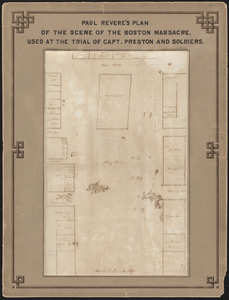
Paul Revere's plan of the scene of the Boston Massacre : used at the trial of Capt. Preston and soldiers
2.
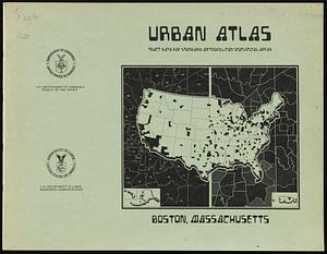
Urban atlas, tract data for standard metropolitan statistical areas : Boston, Massachusetts
3.
Major transportation system : Boston region MAPC area
4.
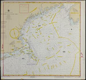
Boston Harbor, Massachusetts
5.
[Alleen de Caribische Eilanden, vervat in 't groot]
6.
Thoreau's Easterbrook country : Concord, Massachusetts
7.
Illustrative site plan : Washington Park urban renewal area, Massachusetts R-24
8.
Campus High School urban renewal area Mass. r-129 : existing land-use
9.
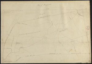
Plan of Longmeadow, surveyor's name not given, dated April 1831
10.
Boylston Street improvements
11.
Illustration of the south side of Boylston Street between Clarendon and Berkeley Streets
12.
Outline map of towns on the Massachusetts coast
13.
Plans of structures next to the end towers of Longfellow Bridge
14.
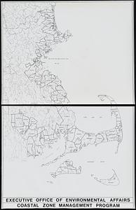
Twenty years of change on the Massachusetts coastline : maps and statistics, 1951-1971
15.
Washington Street corridor : South Cove to Forest Hills
16.
Aitoff's equal area projection of the sphere
17.
Boston bikemap : toward intelligent commuting
18.
New England fishery management region
19.
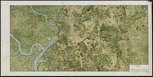
Pictomap


![[Alleen de Caribische Eilanden, vervat in 't groot]](https://bpldcassets.blob.core.windows.net/derivatives/images/commonwealth:st74cw59p/image_thumbnail_300.jpg)