Search Constraints
Search Results


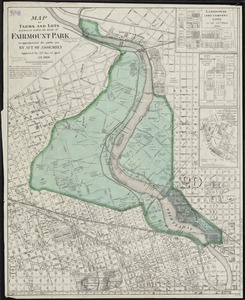
18. Plan of Boston


21. 227 Harzgerode


25. Coblenz


27. Colton's Vermont


29. Denmark

30. Edinburgh

31. England


33. France

35. Germany


39. Ireland

40. Iserlohn