Toggle navigation
LMEC Home
Exhibitions
Georeferencing
Tools for Teachers
Collections
My Favorites
Sign Up / Log In
Search
Search the map portal
Map Collection
Map Collection
Map Sets
Search
Search
Search for
Search In
All Fields
Creator
Title
Subject
Place
Search All Digital Collections
Advanced Search
325 Results
My Search
Start Over
Date
1915
to
1919
Remove constraint Date: <span class='from'>1915</span> to <span class='to'>1919</span>
Filter your Search
Place
North and Central America
186
United States
166
Europe
94
Massachusetts
42
Boston
23
Suffolk (county)
23
France
21
Asia
20
more
Place
»
Topic
France--Maps
16
Europe--Maps
13
New England--Maps--Early works to 1800--Facsimiles
12
Real property--Massachusetts--Boston--Maps
11
United States--Maps
11
Balkan Peninsula--Maps
10
Boston (Mass.)--Maps
10
Landowners--Massachusetts--Boston--Maps
10
more
Topic
»
Date
1915
to
1919
[remove]
325
Date range begin
–
Date range end
Current results range from
1770
to
1999
1915
to
1915
84
1916
to
1916
79
1917
to
1917
93
1918
to
1918
105
1919
to
1919
104
Creator
American Geographical Society of New York
36
Gross, Alexander, 1879-1958
27
Bromley, George Washington
15
Bromley, Walter Scott
15
C.S. Hammond & Company
13
Geological Survey (U.S.)
11
Richard Mayer (Firm)
11
G.W. Bromley & Co.
10
more
Creator
»
Format
Maps/Atlases
322
Photographs
3
Books
2
Manuscripts
1
Georeferenced
Yes
36
No
289
Collection
Norman B. Leventhal Map & Education Center Collection
304
Urban Maps
15
Boston and New England Maps
14
Massachusetts Real Estate Atlases
13
Robert E. Diefenbach Map Collection at Phillips Academy
5
American Textile History Museum Image Collection
2
American Revolutionary War-Era Maps
1
Sidney R. Knafel Map Collection at Phillips Academy
1
Available to use
No known restrictions
308
Creative Commons license
1
Search Constraints
Sort by relevance
relevance
title
date (asc)
date (desc)
Number of results to display per page
20 per page
10
per page
20
per page
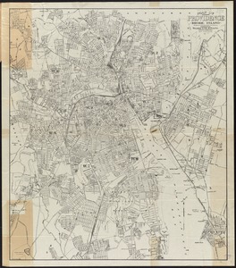
50
per page
100
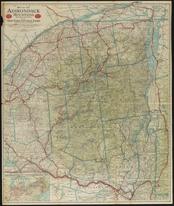
per page
View results as:
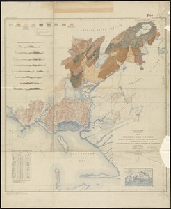
grid view
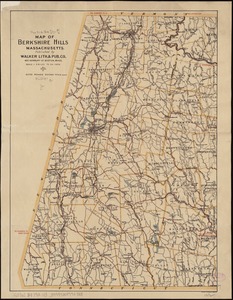
map view
Search Results
161.
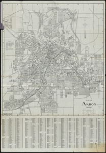
Map of Akron, Ohio : prepared for Akron Chamber of Commerce
162.
Map of Arkansas : from government and other authentic sources
163.
Map of Cape Cod and vicinity
164.
Map of city of Schenectady and village of Scotia, 1917
165.
[Map of Ecuador]
166.
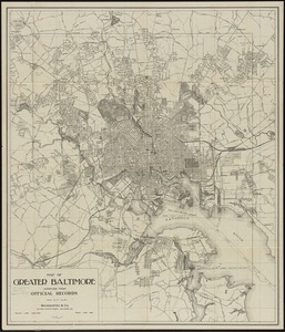
Map of greater Baltimore, compiled from official records : area 91.93 sq. mi
167.
Map of Keene including the original boundaries of upper Ashuelot
168.
Map of Manitoba
169.
Map of Manitoba, Saskatchewan & Alberta : showing the number of quarter sections available for homestead entry in each...
170.
Map of Manitoba, Saskatchewan and Alberta : showing the number of quarter-sections available for homestead entry in each...
171.
A map of New England and New York
172.
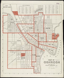
Map of Oshkosh
173.
[Map of parts of Venezuela and Colombia]
174.
Map of Providence, Rhode Island
175.
Map of St. Paul
176.
Map of Taunton
177.
Map of the Adirondack Mountains showing how to reach them by the New York Central Lines
178.
Map of the Back Bay Fens showing the public ways bordering and crossing them and the neighboring newly laid out parts of...
179.
Map of the Bering River Coal Field : showing distribution of the various kinds of coal and location of the coal sections and...
180.
Map of the Berkshire Hills Massachusetts
‹ Prev
Next ›
1
2
…
5
6
7
8
9
10
11
12
13
…
16
17


![[Map of Ecuador]](https://bpldcassets.blob.core.windows.net/derivatives/images/commonwealth:4m90fm076/image_thumbnail_300.jpg)


![[Map of parts of Venezuela and Colombia]](https://bpldcassets.blob.core.windows.net/derivatives/images/commonwealth:4m90fm18q/image_thumbnail_300.jpg)