Toggle navigation
LMEC Home
Exhibitions
Georeferencing
Tools for Teachers
Collections
My Favorites
Sign Up / Log In
Search
Search the map portal
Map Collection
Map Collection
Map Sets
Search
Search
Search for
Search In
All Fields
Creator
Title
Subject
Place
Search All Digital Collections
Advanced Search
142 Results
My Search
Start Over
plan AND lots
Remove constraint plan AND lots
Filter your Search
Place
North and Central America
138
United States
133
Massachusetts
99
Suffolk (county)
74
Boston
73
Middlesex (county)
17
Norfolk (county)
8
Roxbury
8
more
Place
»
Topic
Real property--Massachusetts--Boston--Maps
42
Boston (Mass.)--Maps
27
Landowners--Massachusetts--Boston--Maps
17
Land tenure--Massachusetts--Boston--Maps
14
City planning--Massachusetts--Boston--Maps
13
Roxbury (Boston, Mass.)--Maps
7
Dorchester (Boston, Mass.)--Maps
6
Landowners--Massachusetts--Newton--Maps
6
more
Topic
»
Date
Date range begin
–
Date range end
Current results range from
1754
to
1992
View distribution
Creator
Boston Redevelopment Authority
10
Wadsworth, Alexander, 1806-1898
9
Eddy, R. H. (Robert Henry), 1812-1887
4
Boston (Mass.). Engineering Dept
3
Fuller, Stephen P.
3
George, III, King of Great Britain, 1738-1820
3
George, IV, King of Great Britain, 1762-1830
3
Holland, Samuel, 1728-1801
3
more
Creator
»
Format
Maps/Atlases
142
Manuscripts
19
Prints
1
Georeferenced
Yes
16
No
126
Collection
Urban Maps
116
Norman B. Leventhal Map & Education Center Collection
113
Boston and New England Maps
108
American Revolutionary War-Era Maps
19
Boston Redevelopment Authority Collection
14
Library of Congress Collection
7
William L. Clements Library Collection
5
British Library Collection
3
more
Collection
»
Available to use
No known restrictions
120
Creative Commons license
12
Search Constraints
Sort by relevance
relevance
title
date (asc)
date (desc)
Number of results to display per page
20 per page
10
per page
20
per page
50
per page
100
per page
View results as:
grid view
map view
Search Results
121.
South Cove property ownership 1962
122.
Parcel 22
123.
Government Center project no. Mass. r-35 : building deficiencies map
124.
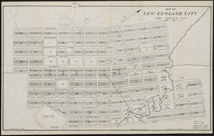
Map of New England City, Dade County, Ga
125.
Back Bay park
126.
Washington Park urban renewal area Massachusetts r-24 : property map acquisitions
127.
Downtown project no. Mass. r-46 : existing land use
128.
Washington Park urban renewal area Massachusetts r-24 : property map acquisitions
129.
Washington Park urban renewal area : report on feasibility of placing utility services underground
130.
Map of Boston and adjacent cities
131.
Off-street parking inventory within Boston proper
132.
Chicopee Mfg. Corp. (Cotton Mill), Chicopee Falls, Mass. [insurance map]
133.
Belvidere Park : Lowell, Mass
134.
Map of the city of New-York extending northward to Fiftieth Street
135.
Atlas town of Wellesley
136.
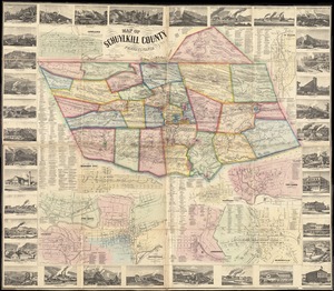
Map of Schuylkill County, Pennsylvania
137.
Charles River embankment : Boston district
138.
Washington Street corridor : South Cove to Forest Hills
139.
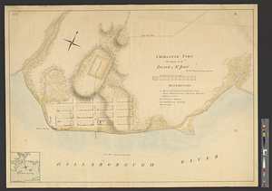
Charlotte Town the capital of the island of St. John
140.
A kite view of Philadelphia and the Sesqui Centennial International Exposition
‹ Prev
Next ›
1
2
3
4
5
6
7
8


![Chicopee Mfg. Corp. (Cotton Mill), Chicopee Falls, Mass. [insurance map]](https://bpldcassets.blob.core.windows.net/derivatives/images/commonwealth:2r36vc433/image_thumbnail_300.jpg)