Toggle navigation
LMEC Home
Exhibitions
Georeferencing
Tools for Teachers
Collections
My Favorites
Sign Up / Log In
Search
Search the map portal
Map Collection
Map Collection
Map Sets
Search
Search
Search for
Search In
All Fields
Creator
Title
Subject
Place
Search All Digital Collections
Advanced Search
14021 Results
Filter your Search
Place
North and Central America
10,683
United States
8,692
Massachusetts
2,808
Suffolk (county)
1,682
Boston
1,638
Europe
1,420
Canada
1,009
New York
674
more
Place
»
Topic
Boston (Mass.)--Maps
748
City planning--Massachusetts--Boston--Maps
418
United States--History--Revolution, 1775-1783--Maps
331
United States--Maps
328
Real property--Massachusetts--Boston--Maps
254
Urban renewal--Massachusetts--Boston--Maps
254
North America--Maps--Early works to 1800
240
Massachusetts--Maps
234
more
Topic
»
Date
Date range begin
–
Date range end
Current results range from
1482
to
2023
View distribution
Creator
United States. Hydrographic Office
597
Boston Redevelopment Authority
404
Des Barres, Joseph F. W. (Joseph Frederick Wallet), 1722-1824
247
Jefferys, Thomas, -1771
172
Royal United Services Institute for Defence and Security Studies
160
George, III, King of Great Britain, 1738-1820
152
George, IV, King of Great Britain, 1762-1830
151
O.H. Bailey & Co
148
more
Creator
»
Format
Maps/Atlases
13,839
Manuscripts
985
Prints
102
Books
49
Drawings/Illustrations
44
Photographs
15
Objects/Artifacts
13
Documents
7
more
Format
»
Georeferenced
Yes
979
No
13,042
Collection
Norman B. Leventhal Map & Education Center Collection
9,110
American Revolutionary War-Era Maps
3,627
Boston and New England Maps
2,921
Urban Maps
2,480
Maritime Charts and Atlases
1,169
William L. Clements Library Collection
910
Library of Congress Collection
618
Boston Redevelopment Authority Collection
475
more
Collection
»
Available to use
No known restrictions
10,268
Creative Commons license
1,678
Search Constraints
Sort by relevance
relevance
title
date (asc)
date (desc)
Number of results to display per page
20 per page
10
per page
20
per page
50
per page
100
per page
View results as:
grid view
map view
Search Results
13381.
Venezuela cum parte Australi Novae Andalusiae
13382.
Venezuela, cum partie Australi Novae Andalusiae
13383.
Venezuela with Trinidad and part of West Indies and British Guiana
13384.
Venice (Venezia)
13385.
Vera-Cruz dans le Golfe du Méxique [and] Isle St. Juan, Fort de St. Jean d'Ulloa
13386.
Vereinigte Staaten von Nord Amerika : ohne das West Gebiet der Union
13387.
Vereinigte Staaten von Nord-America
13388.
Vereinigte Staaten Von Nordamerika
13389.
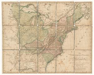
Vereinigte Staaten von Nord-Amerika in 6 blattern, bl. 3
13390.
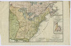
Die Vereinigten Staaten von Nord-America : nach den sichersten Bestimmungen, neuesten Nachrichten und Charten, in der...
13391.
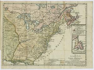
Die Vereinigten Staaten von Nord=America : nach der von W.m Faden 1783 : herausgegebenen charte, auf welcher alle im englisch...
13392.
Die Vereinigten Staaten von Nord=America
13393.
Die vereinigten staaten von Nordamerika
13394.
Verkehrs-karte von Europa : übersichts grösserer eisenbahnverbindungen, telegraphen und überseeischer dampfschiffahrt
13395.
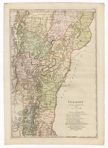
Vermont
13396.
Vermont
13397.
Vermont
13398.
Vermont, from actual survey : with all the late additions & improvements
13399.
Vermont from actual survey
13400.
Vermont from actual survey
‹ Prev
Next ›
1
2
…
666
667
668
669
670
671
672
673
674
…
701
702


![Vera-Cruz dans le Golfe du Méxique [and] Isle St. Juan, Fort de St. Jean d'Ulloa](https://bpldcassets.blob.core.windows.net/derivatives/images/commonwealth:cj82kx24p/image_thumbnail_300.jpg)