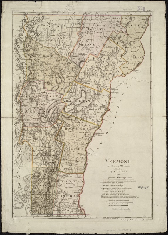
Vermont
This map is also available in American Revolutionary Geographies Online (ARGO), a collections portal especially built for material relating to the American Revolutionary War Era. Visit ARGO to learn more about this item and explore the historical geography of North America in the late eighteenth century.
Item Information
- Title:
- Vermont
- Title (alt.):
-
Erdbeschreibung von Amerika
- Creator:
- Sotzmann, D. F.
- Name on Item:
-
entworfen von D.F. Sotzmann ; P. Schmidt sc. zu Berlin.
- Date:
-
1796
- Format:
-
Maps/Atlases
- Location:
-
Boston Public Library
Norman B. Leventhal Map & Education Center - Collection (local):
-
Norman B. Leventhal Map & Education Center Collection
- Subjects:
-
Vermont--Maps--Early works to 1800
Vermont--Administrative and political divisions--Maps--Early works to 1800
- Places:
-
Vermont
- Extent:
- 1 map : hand col. ; 68 x 46 cm.
- Terms of Use:
-
No known copyright restrictions.
No known restrictions on use.
- Publisher:
-
Hamburg :
Bey Carl Ernst Bohn
- Scale:
-
Scale [ca. 1:380,160]
- Language:
-
German
- Notes:
-
Relief shown by hachures.
Also shows county boundaries.
"72. zu Ebelings Erdbeschreibung von Amerika."
Prime meridian: Washington.
Hand colored.
Atlas plate: No. XVI.
- Identifier:
-
06_01_006785
- Call #:
-
G3750 1796 .S68
- Barcode:
-
39999059028124


