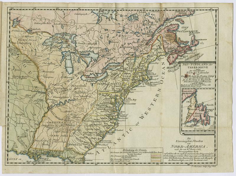
Die Vereinigten Staaten von Nord=America : nach der von W.m Faden 1783 : herausgegebenen charte, auf welcher alle im englisch americanischen kriege vorzüglich merkwürdig gewordenen orter angezeigt, auch die grenzen zwischen Grosbrittanien America, und Spanien nach Maasgabe des Friedenschlusses von 1783 bestimmt sind
This map is also available in American Revolutionary Geographies Online (ARGO), a collections portal especially built for material relating to the American Revolutionary War Era. Visit ARGO to learn more about this item and explore the historical geography of North America in the late eighteenth century.
Item Information
- Title:
- Die Vereinigten Staaten von Nord=America : nach der von W.m Faden 1783 : herausgegebenen charte, auf welcher alle im englisch americanischen kriege vorzüglich merkwürdig gewordenen orter angezeigt, auch die grenzen zwischen Grosbrittanien America, und Spanien nach Maasgabe des Friedenschlusses von 1783 bestimmt sind
- Contributor:
- Sprengel, M. C. (Matthias Christian), 1746-1803
- Publisher:
- Haude und Spener
- Name on Item:
-
J. Marianus sculp. aug. vind.
- Date:
-
1785
- Format:
-
Maps/Atlases
- Location:
- MacLean Collection Map Library
- Collection (local):
-
MacLean Collection Map Library
- Subjects:
-
United States--Maps--Early works to 1800
- Places:
-
United States
- Extent:
- 1 map ; 210 x 337 mm
- Terms of Use:
-
Public Domain/No known restrictions on use. Contact host institution to download image.
Contact host institution for more information.
- Publisher:
-
[Speyer] :
Haude und Spener
- Language:
-
German
- Notes:
-
In Sprengel's Geschichte der revolution von Nordamerika (Spener bei der Topographischen Gesellschaft, 1785).
"J. Marianus sculp. aug. vind."
- Identifier:
-
MC_3890
- Call #:
-
3890


