Toggle navigation
LMEC Home
Exhibitions
Georeferencing
Tools for Teachers
Collections
My Favorites
Sign Up / Log In
Search
Search the map portal
Map Collection
Map Collection
Map Sets
Search
Search
Search for
Search In
All Fields
Creator
Title
Subject
Place
Search All Digital Collections
Advanced Search
13680 Results
My Search
Start Over
Date facet yearly ssim
1700
to
1749
Remove constraint Date facet yearly ssim: <span class='from'>1700</span> to <span class='to'>1749</span>
Filter your Search
Place
North and Central America
10,344
United States
8,475
Massachusetts
2,789
Suffolk (county)
1,677
Boston
1,633
Europe
1,415
Canada
950
New York
649
more
Place
»
Topic
Boston (Mass.)--Maps
747
City planning--Massachusetts--Boston--Maps
418
United States--History--Revolution, 1775-1783--Maps
329
United States--Maps
322
Real property--Massachusetts--Boston--Maps
254
Urban renewal--Massachusetts--Boston--Maps
254
Massachusetts--Maps
231
Insurance surveys
197
more
Topic
»
Date
Date range begin
–
Date range end
Current results range from
1482
to
2023
View distribution
Creator
United States. Hydrographic Office
597
Boston Redevelopment Authority
404
Des Barres, Joseph F. W. (Joseph Frederick Wallet), 1722-1824
247
Royal United Services Institute for Defence and Security Studies
160
Jefferys, Thomas, -1771
154
George, III, King of Great Britain, 1738-1820
152
George, IV, King of Great Britain, 1762-1830
151
O.H. Bailey & Co
148
more
Creator
»
Format
Maps/Atlases
13,499
Manuscripts
985
Prints
102
Books
49
Drawings/Illustrations
44
Photographs
15
Objects/Artifacts
13
Documents
7
more
Format
»
Georeferenced
Yes
979
No
12,701
Collection
Norman B. Leventhal Map & Education Center Collection
9,096
American Revolutionary War-Era Maps
3,305
Boston and New England Maps
2,915
Urban Maps
2,471
Maritime Charts and Atlases
1,169
William L. Clements Library Collection
910
Library of Congress Collection
618
Boston Redevelopment Authority Collection
475
more
Collection
»
Available to use
No known restrictions
10,246
Creative Commons license
1,678
Search Constraints
Sort by relevance
relevance
title
date (asc)
date (desc)
Number of results to display per page
20 per page
10
per page
20
per page
50
per page
100
per page
View results as:
grid view
map view
Search Results
12981.
The United States of America with the British possessions of Canada, Nova Scotia, & of Newfoundland, divided with the French :...
12982.
The United States of America with the British possessions of Canada, Nova Scotia, & of Newfoundland, divided with the French :...
12983.
The United States of America with the British possessions of Canada, Nova Scotia, New Brunswick and Newfoundland divided with...
12984.
The United States of America with the British possessions of Canada, Nova Scotia, New Brunwsick, and Newfoundland, divided with...
12985.
United States of Colombia, north coast of Panama, Aspinwall : compiled from the latest information
12986.
United States of Colombia, north coast of Panama, Porto Bello : from an old Spanish plan corrected for the latest information,...
12987.
The United States of North America : with the British & Spanish territories according to the treaty
12988.
The United States of North America : with the British territories and those of Spain according to the treaty of 1784
12989.
The United States of North America with the British & Spanish territories according to the treaty
12990.
The United States of North America, with the British & Spanish territories according to the treaty
12991.
The United States of North America, with the British & Spanish territories according to the treaty
12992.
United States of Nth. America : carte des Etats-Unis de l'Amérique Septentrionale
12993.
United States relief map
12994.
United States relief map
12995.
United States Rubber Co. (Fisk Cord Mills), New Bedford, Mass. [insurance map]
12996.
United States showing routes of principal explorers and early roads and highways
12997.
The United States southern part : from the latest surveys
12998.
The United States, the land and the people = Les états-Unis, le pays et ses habitants = De Verenigde Staten, het land en het volk
12999.
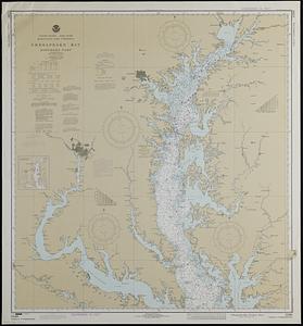
United States--east coast, Maryland and Virginia, Chesapeake Bay, northern part
13000.
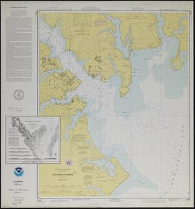
United States--east coast, Maryland, Annapolis Harbor
‹ Prev
Next ›
1
2
…
646
647
648
649
650
651
652
653
654
…
683
684


![United States Rubber Co. (Fisk Cord Mills), New Bedford, Mass. [insurance map]](https://bpldcassets.blob.core.windows.net/derivatives/images/commonwealth:ww72bz94g/image_thumbnail_300.jpg)