Toggle navigation
LMEC Home
Exhibitions
Georeferencing
Tools for Teachers
Collections
My Favorites
Sign Up / Log In
Search
Search the map portal
Map Collection
Map Collection
Map Sets
Search
Search
Search for
Search In
All Fields
Creator
Title
Subject
Place
Search All Digital Collections
Advanced Search
13385 Results
Filter your Search
Place
North and Central America
9,353
United States
7,078
Suffolk (county)
1,664
Boston
1,621
Europe
1,035
Canada
949
Massachusetts
794
New York
532
more
Place
»
Topic
Boston (Mass.)--Maps
741
City planning--Massachusetts--Boston--Maps
418
United States--History--Revolution, 1775-1783--Maps
329
United States--Maps
315
Urban renewal--Massachusetts--Boston--Maps
254
Real property--Massachusetts--Boston--Maps
252
Massachusetts--Maps
219
Insurance surveys
197
more
Topic
»
Date
Date range begin
–
Date range end
Current results range from
1482
to
2023
View distribution
Creator
United States. Hydrographic Office
595
Boston Redevelopment Authority
403
Des Barres, Joseph F. W. (Joseph Frederick Wallet), 1722-1824
247
Royal United Services Institute for Defence and Security Studies
160
Jefferys, Thomas, -1771
154
George, III, King of Great Britain, 1738-1820
152
George, IV, King of Great Britain, 1762-1830
151
O.H. Bailey & Co
148
more
Creator
»
Format
Maps/Atlases
13,205
Manuscripts
985
Prints
102
Books
49
Drawings/Illustrations
44
Photographs
15
Objects/Artifacts
13
Documents
7
more
Format
»
Georeferenced
Yes
979
No
12,406
Collection
Norman B. Leventhal Map Center Collection
8,891
American Revolutionary War-Era Maps
3,305
Boston and New England Maps
2,804
Urban Maps
2,397
Maritime Charts and Atlases
1,150
William L. Clements Library Collection
910
Library of Congress Collection
618
Boston Redevelopment Authority Collection
475
more
Collection
»
Available to use
No known restrictions
9,952
Creative Commons license
1,677
Search Constraints
Sort by date (asc)
relevance
title
date (asc)
date (desc)
Number of results to display per page
20 per page
10
per page
20
per page
50
per page
100
per page
View results as:
grid view
map view
Search Results
12301.
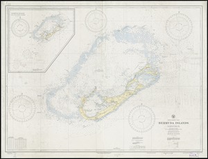
North Atlantic Ocean, Bermuda Islands : from British surveys to 1926, with additions and corrections to 1936
12302.
Now see America by Grace Line
12303.
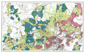
Residential security map of Boston, Mass.
12304.
American Woolen Company et al, "Anderson Mill No. 4 & Arms Mill," Skowhegan, Me. [insurance map]
12305.
American Woolen Company et al, "Washington Mills," Lawrence, Mass.
12306.
Hathaway Manufacturing Company (Cotton & Rayon Cloth), New Bedford, Mass. [insurance map]
12307.
Limited edition, 500 only of a pictorial map covering the New England States U.S.A
12308.
Map of Scituate Rhode Island
12309.
Pictorial map of Mexico
12310.
A pictorial map of that portion of New York City known as Manhattan, also showing parts of the Bronx
12311.
A pictorial map of the British Isles
12312.
A pictorial map of the New England states U.S.A.
12313.
PWA rebuilds the nation
12314.
Shall Union Square overshadow the United States? : America's other 60 families : the real rulers of America
12315.
United Elastic Corporation "Conant-Houghton Division" (Elastic Webbing), Littleton, Mass. [insurance map]
12316.
World wonders : a pictorial map
12317.
38,000,000 escaped -- 10,000,000 died
12318.
America the wonderland : a pictorial map of the United States
12319.
Art forms of the Pacific area
12320.
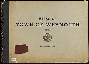
Atlas of Town of Weymouth, Massachusetts
‹ Prev
Next ›
1
2
…
612
613
614
615
616
617
618
619
620
…
669
670

![American Woolen Company et al, "Anderson Mill No. 4 & Arms Mill," Skowhegan, Me. [insurance map]](https://bpldcassets.blob.core.windows.net/derivatives/images/commonwealth:4j03df372/image_thumbnail_300.jpg)
![Hathaway Manufacturing Company (Cotton & Rayon Cloth), New Bedford, Mass. [insurance map]](https://bpldcassets.blob.core.windows.net/derivatives/images/commonwealth:2r36vc629/image_thumbnail_300.jpg)


![United Elastic Corporation "Conant-Houghton Division" (Elastic Webbing), Littleton, Mass. [insurance map]](https://bpldcassets.blob.core.windows.net/derivatives/images/commonwealth:2r36vc54m/image_thumbnail_300.jpg)