Toggle navigation
LMEC Home
Exhibitions
Georeferencing
Tools for Teachers
Collections
My Favorites
Sign Up / Log In
Search
Search the map portal
Map Collection
Map Collection
Map Sets
Search
Search
Search for
Search In
All Fields
Creator
Title
Subject
Place
Search All Digital Collections
Advanced Search
13385 Results
Filter your Search
Place
North and Central America
9,353
United States
7,286
Suffolk (county)
1,664
Boston
1,621
Europe
1,035
Canada
949
Massachusetts
806
New York
534
more
Place
»
Topic
Boston (Mass.)--Maps
741
City planning--Massachusetts--Boston--Maps
418
United States--History--Revolution, 1775-1783--Maps
329
United States--Maps
315
Urban renewal--Massachusetts--Boston--Maps
254
Real property--Massachusetts--Boston--Maps
252
Massachusetts--Maps
219
Insurance surveys
197
more
Topic
»
Date
Date range begin
–
Date range end
Current results range from
1482
to
2023
View distribution
Creator
United States. Hydrographic Office
595
Boston Redevelopment Authority
403
Des Barres, Joseph F. W. (Joseph Frederick Wallet), 1722-1824
247
Royal United Services Institute for Defence and Security Studies
160
Jefferys, Thomas, -1771
154
George, III, King of Great Britain, 1738-1820
152
George, IV, King of Great Britain, 1762-1830
151
O.H. Bailey & Co
148
more
Creator
»
Format
Maps/Atlases
13,205
Manuscripts
985
Prints
102
Books
49
Drawings/Illustrations
44
Photographs
15
Objects/Artifacts
13
Documents
7
more
Format
»
Georeferenced
Yes
979
No
12,406
Collection
Norman B. Leventhal Map Center Collection
8,891
American Revolutionary War-Era Maps
3,305
Boston and New England Maps
2,804
Urban Maps
2,397
Maritime Charts and Atlases
1,150
William L. Clements Library Collection
910
Library of Congress Collection
618
Boston Redevelopment Authority Collection
475
more
Collection
»
Available to use
No known restrictions
9,952
Creative Commons license
1,677
Search Constraints
Sort by date (desc)
relevance
title
date (asc)
date (desc)
Number of results to display per page
20 per page
10
per page
20
per page
50
per page
100
per page
View results as:
grid view
map view
Search Results
11741.
Baye et port de Boston
11742.
The coast of Florida from the Dry Tortugas to the old Cape
11743.
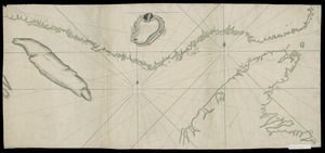
[Continuation of Plan du detroit de Belle Isle et du Golphe St. Laurent]
11744.
A Correct Plan of the Province of New Hampshire together with part of Hudsons River from Albany to Lake George and from thence...
11745.
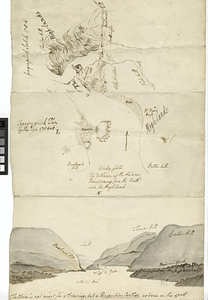
A draught of Lake George, and part of Hudson's River taken September 1756
11746.
A Draught of Lake George with all the Islands & Soundings
11747.
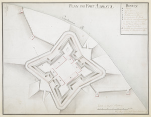
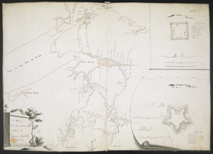
Fort Augusta
11748.
Hudson River highlands at Martelaers Rock
11749.
Hudson's River from New York to Albany
11750.
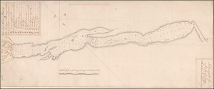
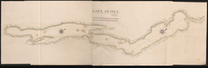
LAKE GEORGE
11751.
Map from Albany to Crown Point
11752.
A map of the eastern part of the province of New York with part of New Jersey, & c
11753.
A map of the eastern part of the province of New York with part of New Jersey, & c
11754.
A MAP OF THE SURVEYED PARTS OF NOVA SCOTIA MDCCLVI
11755.
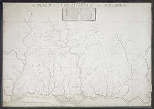
A MAPP OF PENSYLVANIA IN AMERICA
11756.
Partie orientale de la Nouvelle France ou du Canada : avec l'isle de Terre-Neuve et de Nouvelle Escosse, Acadie et Nouv....
11757.
Pensylvania Nova Jersey et Nova York cum Regionibus ad Fluvium Delaware in America sitis
11758.
Plan des forts de Chouaguen avec le débarquement, le camp et les attaques de l'armée commandée par Mr le Marquis de Montcalm,...
11759.
Plan du detroit de Belle Isle et du Golphe St. Laurent pour la coste du nord
11760.
PLAN DU FORT AUGUSTA
‹ Prev
Next ›
1
2
…
584
585
586
587
588
589
590
591
592
…
669
670


![[Continuation of Plan du detroit de Belle Isle et du Golphe St. Laurent]](https://bpldcassets.blob.core.windows.net/derivatives/images/commonwealth:z603vm96n/image_thumbnail_300.jpg)


![Plan des forts de Chouaguen avec le débarquement, le camp et les attaques de l'armée commandée par Mr le Marquis de Montcalm, Jean-Nicolas Desandrouins [Oswego]](https://bpldcassets.blob.core.windows.net/derivatives/images/commonwealth:5138nc68v/image_thumbnail_300.jpg)