Toggle navigation
LMEC Home
Exhibitions
Georeferencing
Tools for Teachers
Collections
My Favorites
Sign Up / Log In
Search
Search the map portal
Map Collection
Map Collection
Map Sets
Search
Search
Search for
Search In
All Fields
Creator
Title
Subject
Place
Search All Digital Collections
Advanced Search
14164 Results
Filter your Search
Place
North and Central America
10,832
United States
8,868
Massachusetts
2,832
Suffolk (county)
1,688
Boston
1,644
Europe
1,428
Canada
1,010
New York
684
more
Place
»
Topic
Boston (Mass.)--Maps
753
City planning--Massachusetts--Boston--Maps
419
United States--History--Revolution, 1775-1783--Maps
331
United States--Maps
331
Real property--Massachusetts--Boston--Maps
254
Urban renewal--Massachusetts--Boston--Maps
254
North America--Maps--Early works to 1800
241
Massachusetts--Maps
236
more
Topic
»
Date
Date range begin
–
Date range end
Current results range from
1482
to
2023
View distribution
Creator
United States. Hydrographic Office
597
Boston Redevelopment Authority
404
Des Barres, Joseph F. W. (Joseph Frederick Wallet), 1722-1824
247
Jefferys, Thomas, -1771
172
United States. National Ocean Service
170
Royal United Services Institute for Defence and Security Studies
160
George, III, King of Great Britain, 1738-1820
152
George, IV, King of Great Britain, 1762-1830
151
more
Creator
»
Format
Maps/Atlases
13,978
Manuscripts
985
Prints
102
Books
53
Drawings/Illustrations
44
Photographs
15
Objects/Artifacts
13
Documents
7
more
Format
»
Georeferenced
Yes
979
No
13,185
Collection
Norman B. Leventhal Map & Education Center Collection
9,162
American Revolutionary War-Era Maps
3,629
Boston and New England Maps
2,936
Urban Maps
2,511
Maritime Charts and Atlases
1,169
William L. Clements Library Collection
910
Library of Congress Collection
618
Boston Redevelopment Authority Collection
475
more
Collection
»
Available to use
No known restrictions
10,408
Creative Commons license
1,678
Search Constraints
Sort by relevance
relevance
title
date (asc)
date (desc)
Number of results to display per page
20 per page
10
per page
20
per page
50
per page
100
per page
View results as:
grid view
map view
Search Results
10421.
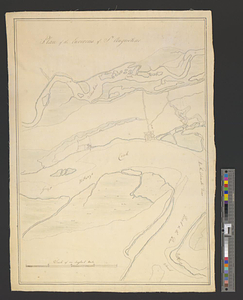
Plan of the environs of St. Augustine
10422.
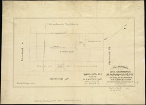
Plan of the estate of late Doct. John W. Warren, No. 89 Harrison Avenue, cor. of Kneeland St. & Plymouth Pl. to be sold at...
10423.
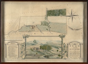
Plan of the estate of Stephen R. and Charles F. Benton, Richmond Township, Berkshire Co., state of Massachusetts
10424.
Plan of the estate of the late Joseph Head Esq. to be sold at auction, Oct. 8th 1841
10425.
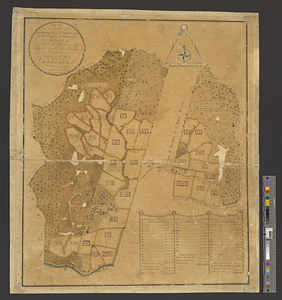
Plan of the estate of the late Richd. F. Ha[nn]on, Esq., Petersburg, Va. (northern portion, in lots)
10426.
Plan of the estate of the late Warren White : to be sold at public auction on Wednesday March 27th 1872 at 12 o'clock m. on the...
10427.
Plan of the estate on the southerly corner of Washington and Franklin Streets : to be sold by public auction on Saturday June...
10428.
Plan of the estates nos. 246 to 252 Congress corner of Purchase Street and nos. 59 to 69 Purchase Street : to be sold by public...
10429.
Plan of the estates of Admiral Sr. Jas. Douglas bart. called Douglas & Ravenscroft, and the estate of Robert Harvey esqr....
10430.
Plan of the Federal St. Meeting House estate : to be sold by public auction, on Thursday February 24th 1859, at 12 o'clock noon...
10431.
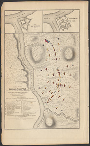
A plan of the field of battle and disposition of the troops as they were on the march at the time of the attack, July 9th, 1755
10432.
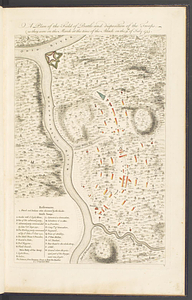
A plan of the field of battle and disposition of the troops, as they were on the march at the time of the attack on the 9th of...
10433.
A plan of the field of battle and disposition of the troops, as they were on the march at the time of the attack on the 9th of...
10434.
A plan of the field of battle and disposition of the troops, as they were on the march at the time of the attack on the 9th of...
10435.
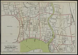
Plan of the foreign settlements, Shanghai : drawn for Crow's "Handbook for China"
10436.
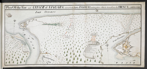
Plan Of the Fort and ATTACK of NIAGARA, and road leading To the ENGLISH Landing place, Also the Action Where the FRENCH were...
10437.
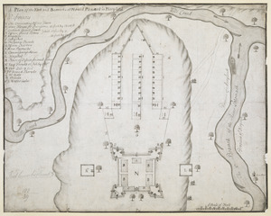
A Plan of the Fort and Barracks at Mount Pleasant in Maryland
10438.
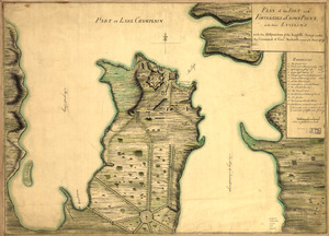
Plan of the fort and fortress at Crown Point with their environs : With the disposition of the English Army under the command...
10439.
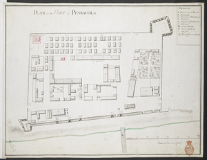
PLAN of the FORT at PENSACOLA
10440.
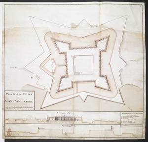
PLAN of the FORT at SAINT AUGUSTINE
‹ Prev
Next ›
1
2
…
518
519
520
521
522
523
524
525
526
…
708
709

![Plan of the estate of the late Richd. F. Ha[nn]on, Esq., Petersburg, Va. (northern portion, in lots)](https://bpldcassets.blob.core.windows.net/derivatives/images/commonwealth:w9505s204/image_thumbnail_300.jpg)