Toggle navigation
LMEC Home
Exhibitions
Georeferencing
Tools for Teachers
Collections
My Favorites
Sign Up / Log In
Search
Search the map portal
Map Collection
Map Collection
Map Sets
Search
Search
Search for
Search In
All Fields
Creator
Title
Subject
Place
Search All Digital Collections
Advanced Search
14164 Results
Filter your Search
Place
North and Central America
10,832
United States
8,868
Massachusetts
2,832
Suffolk (county)
1,688
Boston
1,644
Europe
1,428
Canada
1,010
New York
684
more
Place
»
Topic
Boston (Mass.)--Maps
753
City planning--Massachusetts--Boston--Maps
419
United States--History--Revolution, 1775-1783--Maps
331
United States--Maps
331
Real property--Massachusetts--Boston--Maps
254
Urban renewal--Massachusetts--Boston--Maps
254
North America--Maps--Early works to 1800
241
Massachusetts--Maps
236
more
Topic
»
Date
Date range begin
–
Date range end
Current results range from
1482
to
2023
View distribution
Creator
United States. Hydrographic Office
597
Boston Redevelopment Authority
404
Des Barres, Joseph F. W. (Joseph Frederick Wallet), 1722-1824
247
Jefferys, Thomas, -1771
172
United States. National Ocean Service
170
Royal United Services Institute for Defence and Security Studies
160
George, III, King of Great Britain, 1738-1820
152
George, IV, King of Great Britain, 1762-1830
151
more
Creator
»
Format
Maps/Atlases
13,978
Manuscripts
985
Prints
102
Books
53
Drawings/Illustrations
44
Photographs
15
Objects/Artifacts
13
Documents
7
more
Format
»
Georeferenced
Yes
979
No
13,185
Collection
Norman B. Leventhal Map & Education Center Collection
9,162
American Revolutionary War-Era Maps
3,629
Boston and New England Maps
2,936
Urban Maps
2,511
Maritime Charts and Atlases
1,169
William L. Clements Library Collection
910
Library of Congress Collection
618
Boston Redevelopment Authority Collection
475
more
Collection
»
Available to use
No known restrictions
10,408
Creative Commons license
1,678
Search Constraints
Sort by relevance
relevance
title
date (asc)
date (desc)
Number of results to display per page
20 per page
10
per page
20
per page
50
per page
100
per page
View results as:
grid view
map view
Search Results
10361.
A Plan of the city of Quebec the capital of Canada. : As it surrendered 18 Septembr. 1759 to the British Fleet and Army,...
10362.
Plan of the city of San Domingo
10363.
A plan of the city of Savannah : with a drawing of the part of the city burnt in the dreadful fires of the 26 November & 6...
10364.
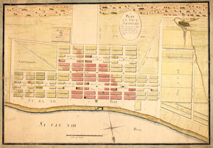
Plan of the city of St. Louis
10365.
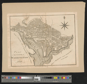
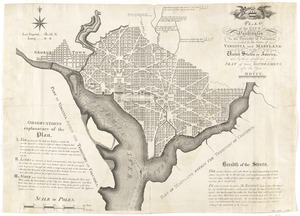
Plan of the city of Washington
10366.
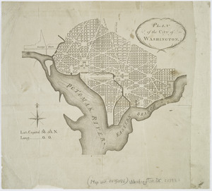
Plan of the city of Washington
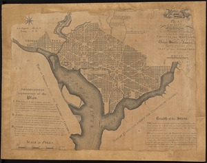
10367.
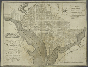
Plan of the city of Washington : now building for the metropolis of America, and established as the permanent residence of...
10368.
Plan of the city of Washington in the territory of Columbia : ceded by the states of Virginia and Maryland to the United States...
10369.
Plan of the city of Washington, in the territory of Columbia, ceded by the States of Virginia and Maryland to the United States...
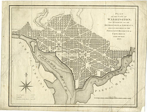
10370.
Plan of the city of Washington in the territory of Columbia, ceded by the states of Virginia and Maryland to the United States...
10371.
Plan of the city of Washington in the territory of Columbia, ceded by the states of Virginia and Maryland to the United States...
10372.
Plan of the city of Washington; now building for the metropolis of America, and established as the permanent residence of...
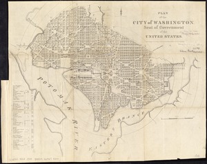
10373.
Plan of the city of Washington, seat of government of the United States
10374.
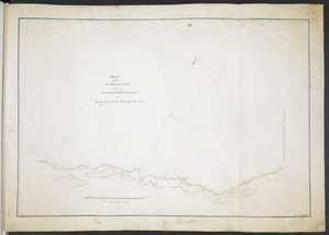
A plan of the coast of Gabarus Bay from the west end of Kennington Cove to White Point shewing the several batteries and...
10375.
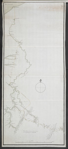
A plan of the coast of Newfoundland from Cape Bonavista to Cape Chapeau Rouge wherein seven-eights of the fishery of the island...
10376.
Plan of the Coffin Estate, corner of Summer and Chauncy Streets : to be sold by public auction on Wednesday April 26th 1856 at...
10377.
Plan of the communication from Fort Cumberland to Presqu'Isle
10378.
PLAN of the COMMUNICATION from TOWNSHIP No 8 to CATARAQUI as Surveyed by M.r Louis Kott Dep.t Prov.l Surv
10379.
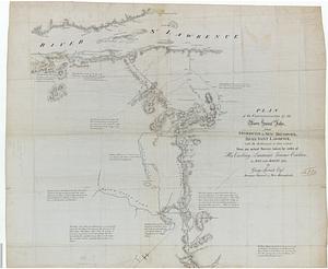
Plan of the communications by the River Saint John, from Fredericton in New Brunswick to the River Saint Lawrence : with the...
10380.
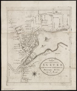
A plan of the compact part of the town of Exeter, at the head of the southerly branch of Piscataqua River
‹ Prev
Next ›
1
2
…
515
516
517
518
519
520
521
522
523
…
708
709


![A plan of the coast of Newfoundland from Cape Bonavista to Cape Chapeau Rouge wherein seven-eights of the fishery of the island is caried [sic] on](https://bpldcassets.blob.core.windows.net/derivatives/metadata/commonwealth-oai:cz30tq534/image_thumbnail_300.jpg)