Toggle navigation
LMEC Home
Exhibitions
Georeferencing
Tools for Teachers
Collections
My Favorites
Sign Up / Log In
Search
Search the map portal
Map Collection
Map Collection
Map Sets
Search
Search
Search for
Search In
All Fields
Creator
Title
Subject
Place
Search All Digital Collections
Advanced Search
1070 Results
My Search
Start Over
Back Bay Boston
Remove constraint Back Bay Boston
Filter your Search
Place
North and Central America
821
United States
521
Massachusetts
229
Suffolk (county)
176
Boston
171
Canada
115
South America
62
Asia
61
more
Place
»
Topic
Boston (Mass.)--Maps
60
City planning--Massachusetts--Boston--Maps
48
Back Bay (Boston, Mass.)--Maps
46
North America--Maps--Early works to 1800
34
Landowners--Massachusetts--Boston--Maps
26
Real property--Massachusetts--Boston--Maps
25
New England--Maps--Early works to 1800
24
Nova Scotia--Maps--Early works to 1800
24
more
Topic
»
Date
Date range begin
–
Date range end
Current results range from
1565
to
2020
View distribution
Creator
United States. Hydrographic Office
276
Des Barres, Joseph F. W. (Joseph Frederick Wallet), 1722-1824
64
Boston Redevelopment Authority
35
Jefferys, Thomas, -1771
24
Sayer, Robert, 1725-1794
24
Franke, M. (Max)
23
U.S. Lake Survey
22
United States Exploring Expedition (1838-1842)
21
more
Creator
»
Format
Maps/Atlases
1,056
Manuscripts
69
Drawings/Illustrations
10
Objects/Artifacts
3
Prints
3
Books
1
Georeferenced
Yes
54
No
1,016
Collection
Norman B. Leventhal Map & Education Center Collection
932
Maritime Charts and Atlases
477
Boston and New England Maps
258
American Revolutionary War-Era Maps
230
Urban Maps
136
Boston Redevelopment Authority Collection
54
Mapping Boston Collection
39
Library of Congress Collection
35
more
Collection
»
Available to use
No known restrictions
933
Creative Commons license
112
Search Constraints
Sort by relevance
relevance
title
date (asc)
date (desc)
Number of results to display per page
20 per page
10
per page
20
per page
50
per page
100
per page
View results as:
grid view
map view
Search Results
981.
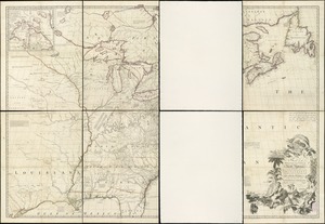
A map of the British colonies in North America : with the roads, distances, limits, and extent of the settlements, humbly...
982.
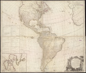
A new map of the whole continent of America, divided into North and South and West Indies : wherein are exactly described the...
983.
Port Mills : Port Mansfield ; Gambier Harbour
984.
Virginia and Maryland
985.
Massachusetts and Rhode Island
986.
A chart of the Cape Verd Islands
987.
Colton's rail road and county map of the Southern States containing the latest information
988.
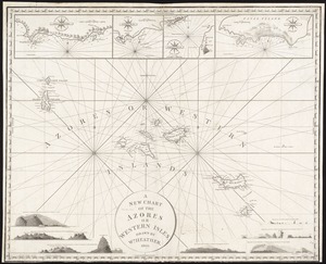
A new chart of the Azores or Western Isles
989.
An accurate map of North America : describing and distinguishing the British and Spanish dominions on this great continent :...
990.
Map of Oregon and upper California, from the surveys of John Charles Frémont and other authorities
991.
The public schools of Massachusetts
992.
Rambles through our country : an instructive geographical game for the young
993.
Innocence abroad
994.
Map New England
995.
Geographisches lottospiel, ganz neue vermehrte u. verbesserte auflage : durch welches sich die kinder spielend neit den...
996.
Afrika
997.
East Indies from the best authorities
998.
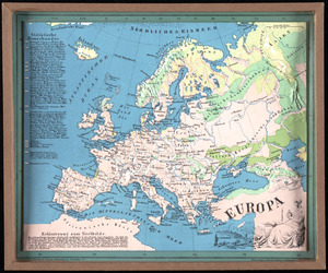
Europa
999.
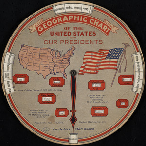
Geographic chart of the United States and our presidents
1000.
History 2
‹ Prev
Next ›
1
2
…
46
47
48
49
50
51
52
53
54