Toggle navigation
LMEC Home
Exhibitions
Georeferencing
Tools for Teachers
Collections
My Favorites
Sign Up / Log In
Search
Search the map portal
Map Collection
Map Collection
Map Sets
Search
Search
Search for
Search In
All Fields
Creator
Title
Subject
Place
Search All Digital Collections
Advanced Search
1080 Results
My Search
Start Over
Back Bay Boston
Remove constraint Back Bay Boston
Filter your Search
Place
North and Central America
830
United States
529
Massachusetts
236
Suffolk (county)
178
Boston
172
Canada
115
South America
62
Asia
61
more
Place
»
Topic
Boston (Mass.)--Maps
60
City planning--Massachusetts--Boston--Maps
48
Back Bay (Boston, Mass.)--Maps
47
North America--Maps--Early works to 1800
34
Landowners--Massachusetts--Boston--Maps
26
Real property--Massachusetts--Boston--Maps
26
New England--Maps--Early works to 1800
24
Nova Scotia--Maps--Early works to 1800
24
more
Topic
»
Date
Date range begin
–
Date range end
Current results range from
1565
to
2020
View distribution
Creator
United States. Hydrographic Office
277
Des Barres, Joseph F. W. (Joseph Frederick Wallet), 1722-1824
64
Boston Redevelopment Authority
36
Jefferys, Thomas, -1771
24
Sayer, Robert, 1725-1794
24
Franke, M. (Max)
23
U.S. Lake Survey
22
United States Exploring Expedition (1838-1842)
21
more
Creator
»
Format
Maps/Atlases
1,066
Manuscripts
69
Drawings/Illustrations
10
Objects/Artifacts
3
Prints
3
Books
1
Georeferenced
Yes
54
No
1,026
Collection
Norman B. Leventhal Map & Education Center Collection
942
Maritime Charts and Atlases
481
Boston and New England Maps
264
American Revolutionary War-Era Maps
230
Urban Maps
138
Boston Redevelopment Authority Collection
54
Mapping Boston Collection
39
Library of Congress Collection
35
more
Collection
»
Available to use
No known restrictions
943
Creative Commons license
112
Search Constraints
Sort by relevance
relevance
title
date (asc)
date (desc)
Number of results to display per page
20 per page
10
per page
20
per page
50
per page
100
per page
View results as:
grid view
map view
Search Results
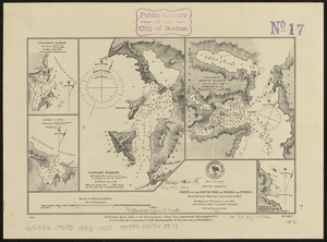
821.
South America, ports on the south side of Tierra del Fuego : from British surveys corrected to 1877
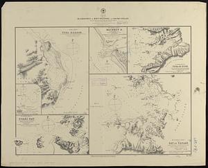
822.
Japan, harbors in Kii Channel and Isumi Strait : from British surveys in 1861 with auditions in 1866-7 ; republication of Brit....
823.
Massachusetts watersheds land use
824.
Plan of the town, road, and harbour of Chagre ; Plan of Porto Belo
825.
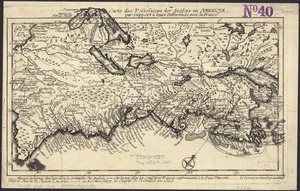
Carte des possessions des Anglois en Amerique, par rapport à leurs differends avec la France
826.
A map of the British Empire in America with the French and Spanish settlements adjacent thereto
827.
An actual survey of the sea coast from New York to the I. Cape Briton : with tables of the direct and thwart courses &...
828.
Plans des isles, rades, et ports de plusieurs lieux de l'Amérique : tirés de la Carte angloise de Mr. Popple publiée en 1733...
829.
Ansei kaisei Oedo ōezu = Map of Jeddo
830.
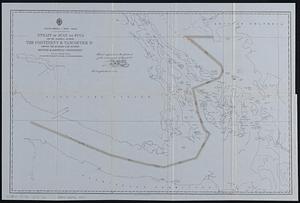
Map, exhibiting the position of the several lines connected with the settlement of the Ohio boundary question
831.
A large draught of New England, New York and Long Island
832.
An actual survey of the sea coast from New York to the I. Cape Brition : with tables of the direct and thwart courses &...
833.
Americae siue noui orbis, noua descriptio
834.
A plan of the town of Newport in the province of Rhode Island
835.
Maps of Beverly
836.
A new mapp of New England and Annapolis and the countrys adjacent
837.
North America--west coast, Strait of Juan de Fuca and the channels between the continent & Vancouver Id. showing the boundary...
838.
The Cape Verd Islands : laid down from the remarks and observations of experienced navigators
839.
Martinico, Dominica
840.
Les principales forteresses, ports &c. de l'Amérique septentrionale
‹ Prev
Next ›
1
2
…
38
39
40
41
42
43
44
45
46
…
53
54