Toggle navigation
LMEC Home
Exhibitions
Georeferencing
Tools for Teachers
Collections
My Favorites
Sign Up / Log In
Search
Search the map portal
Map Collection
Map Collection
Map Sets
Search
Search
Search for
Search In
All Fields
Creator
Title
Subject
Place
Search All Digital Collections
Advanced Search
13518 Results
My Search
Start Over
Date facet yearly ssim
2000
to
2019
Remove constraint Date facet yearly ssim: <span class='from'>2000</span> to <span class='to'>2019</span>
Filter your Search
Place
North and Central America
10,232
United States
8,367
Massachusetts
2,778
Suffolk (county)
1,675
Boston
1,631
Europe
1,386
Canada
949
New York
640
more
Place
»
Topic
Boston (Mass.)--Maps
746
City planning--Massachusetts--Boston--Maps
418
United States--History--Revolution, 1775-1783--Maps
329
United States--Maps
321
Real property--Massachusetts--Boston--Maps
254
Urban renewal--Massachusetts--Boston--Maps
254
Massachusetts--Maps
230
Insurance surveys
197
more
Topic
»
Date
Date range begin
–
Date range end
Current results range from
1482
to
2023
View distribution
Creator
United States. Hydrographic Office
596
Boston Redevelopment Authority
404
Des Barres, Joseph F. W. (Joseph Frederick Wallet), 1722-1824
247
Royal United Services Institute for Defence and Security Studies
160
Jefferys, Thomas, -1771
154
George, III, King of Great Britain, 1738-1820
152
George, IV, King of Great Britain, 1762-1830
151
O.H. Bailey & Co
148
more
Creator
»
Format
Maps/Atlases
13,337
Manuscripts
985
Prints
102
Books
49
Drawings/Illustrations
44
Photographs
15
Objects/Artifacts
13
Documents
7
more
Format
»
Georeferenced
Yes
979
No
12,539
Collection
Norman B. Leventhal Map & Education Center Collection
9,022
American Revolutionary War-Era Maps
3,305
Boston and New England Maps
2,900
Urban Maps
2,425
Maritime Charts and Atlases
1,167
William L. Clements Library Collection
910
Library of Congress Collection
618
Boston Redevelopment Authority Collection
475
more
Collection
»
Available to use
No known restrictions
10,085
Creative Commons license
1,677
Search Constraints
Sort by relevance
relevance
title
date (asc)
date (desc)
Number of results to display per page
20 per page
10
per page
20
per page
50
per page
100
per page
View results as:
grid view
map view
Search Results
8221.
Picardia
8222.
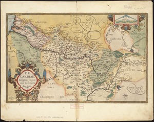
Picardiae, Belgicae regionis descriptio
8223.
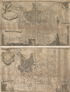
La piccola pianta di Roma
8224.
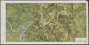
Pictomap
8225.
The pictorial map, a world of stamps
8226.
A pictorial map of Germany
8227.
A pictorial map of Germany
8228.
Pictorial map of Kansas
8229.
A pictorial map of loveland
8230.
Pictorial map of Mexico
8231.
A pictorial map of North America
8232.
A pictorial map of that portion of New York City known as Manhattan, also showing parts of the Bronx
8233.
Pictorial map of the American continent : featuring the Pan American Highway and showing some of the natural resources, scenic...
8234.
A pictorial map of the British Isles
8235.
A pictorial map of the British Isles
8236.
Pictorial map of the city of Paris and its environs, showing the principal buildings, monuments, parks etc., the French...
8237.
A pictorial map of the New England states U.S.A.
8238.
Pictorial map of the seat of war in Europe
8239.
A pictorial map of the United States
8240.
Pictorial map of the United States, 1849
‹ Prev
Next ›
1
2
…
408
409
410
411
412
413
414
415
416
…
675
676