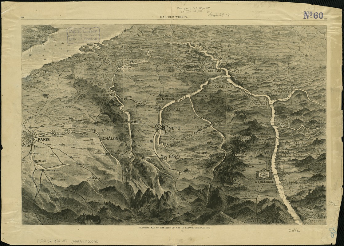
Pictorial map of the seat of war in Europe
Item Information
- Title:
- Pictorial map of the seat of war in Europe
- Date:
-
1870
- Format:
-
Maps/Atlases
- Location:
-
Boston Public Library
Norman B. Leventhal Map & Education Center - Collection (local):
-
Norman B. Leventhal Map & Education Center Collection
- Subjects:
-
Franco-Prussian War, 1870-1871--Aerial views
France--History--1789-1900--Aerial views
Germany--History--1789-1900--Aerial views
- Places:
-
Germany
France
- Extent:
- 1 view ; 35 x 52 cm.
- Terms of Use:
-
No known copyright restrictions.
No known restrictions on use.
- Publisher:
-
New York :
[Harper & Brothers]
- Scale:
-
Not drawn to scale.
- Language:
-
English
- Notes:
-
Bird's-eye view.
Depicts areas included in the Franco-Prussian War, 1870-1871.
From Harper's Weekly, September 3, 1870, p. 568-569.
- Identifier:
-
06_01_003298
- Call #:
-
G5701.S2 1870 .P5
- Barcode:
-
39999059000180


