Toggle navigation
LMEC Home
Exhibitions
Georeferencing
Tools for Teachers
Collections
My Favorites
Sign Up / Log In
Search
Search the map portal
Map Collection
Map Collection
Map Sets
Search
Search
Search for
Search In
All Fields
Creator
Title
Subject
Place
Search All Digital Collections
Advanced Search
13680 Results
My Search
Start Over
Filter your Search
Place
North and Central America
10,344
United States
8,475
Massachusetts
2,789
Suffolk (county)
1,677
Boston
1,633
Europe
1,415
Canada
950
New York
649
more
Place
»
Topic
Boston (Mass.)--Maps
747
City planning--Massachusetts--Boston--Maps
418
United States--History--Revolution, 1775-1783--Maps
329
United States--Maps
322
Real property--Massachusetts--Boston--Maps
254
Urban renewal--Massachusetts--Boston--Maps
254
Massachusetts--Maps
231
Insurance surveys
197
more
Topic
»
Date
Date range begin
–
Date range end
Current results range from
1482
to
2023
View distribution
Creator
United States. Hydrographic Office
597
Boston Redevelopment Authority
404
Des Barres, Joseph F. W. (Joseph Frederick Wallet), 1722-1824
247
Royal United Services Institute for Defence and Security Studies
160
Jefferys, Thomas, -1771
154
George, III, King of Great Britain, 1738-1820
152
George, IV, King of Great Britain, 1762-1830
151
O.H. Bailey & Co
148
more
Creator
»
Format
Maps/Atlases
13,499
Manuscripts
985
Prints
102
Books
49
Drawings/Illustrations
44
Photographs
15
Objects/Artifacts
13
Documents
7
more
Format
»
Georeferenced
Yes
979
No
12,701
Collection
Norman B. Leventhal Map & Education Center Collection
9,096
American Revolutionary War-Era Maps
3,305
Boston and New England Maps
2,915
Urban Maps
2,471
Maritime Charts and Atlases
1,169
William L. Clements Library Collection
910
Library of Congress Collection
618
Boston Redevelopment Authority Collection
475
more
Collection
»
Available to use
No known restrictions
10,246
Creative Commons license
1,678
Search Constraints
Sort by relevance
relevance
title
date (asc)
date (desc)
Number of results to display per page
20 per page
10
per page
20
per page
50
per page
100
per page
View results as:
grid view
map view
Search Results
7901.
Open space management program index map
7902.
Open space map of Connecticut, lands dedicated as open space, and selected undeveloped land, lands managed but not dedicated as...
7903.
Operational navigation chart 1:1,000,000 : ONC L-1, Guinea, Ivory Coast, Liberia, Sierra Leone
7904.
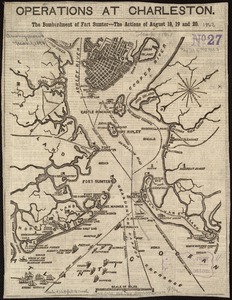
Operations at Charleston : the bombardment of Fort Sumter : the actions of August 18, 19 and 20
7905.
Operations in America : No. 2
7906.
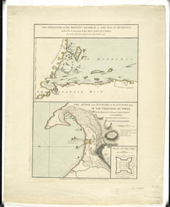
The operations of His Majesty's squadron in the Bay of Honduras, under the command of the Hon. John Luttrell from the 15th of...
7907.
Operations of the British army, from the 25th August to 26th Sept. 1777
7908.
Oppervlakte van de baaije van't eiland St. Vincent, een der Kabo-Verdse Eilanden, op 16 graaden 50 minuuten, noorderbreedte ;...
7909.
Orange Harbour, Tierra del Fuego
7910.
Orange Harbour, Tierra del Fuego
7911.
Orange, Mass
7912.
Orbis Romani descriptio : seu divisio per themata sub Imperatoribus Constantinopolitanis post Heraclii tempora facta
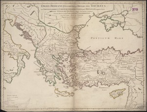
7913.
Orbis Romani pars occidentalis
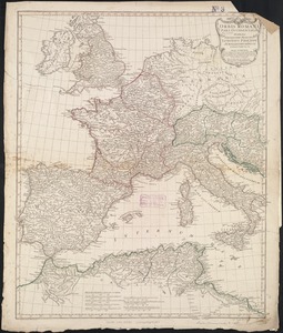
7914.
Orbis Romani pars occidentalis : auspiciis serenissimi principis Ludovici Philippi Aurelianorum ducis publici juris facta
7915.
Orbis Romani pars orientalis
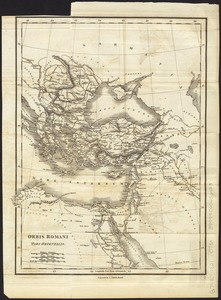
7916.
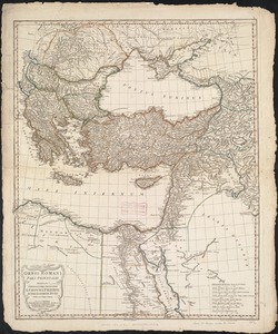
Orbis Romani pars orientalis : auspiciis serenissimi principis Ludovici Philippi Aurelianorum ducis publici juris facta
7917.
Orbis terrae compendiosa descriptio : quam ex magna universali Gerardi Mercatoris Domino Richardo Gartho, geographie ac...
7918.
Orbis terrarum nova et accuratissima tabula
7919.
Orbis terrarum nova et accuratissima tabula
7920.
Orbis terrarum typus de integro multis in locis emendatus
‹ Prev
Next ›
1
2
…
392
393
394
395
396
397
398
399
400
…
683
684