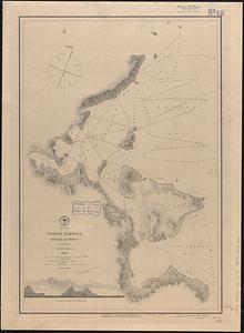
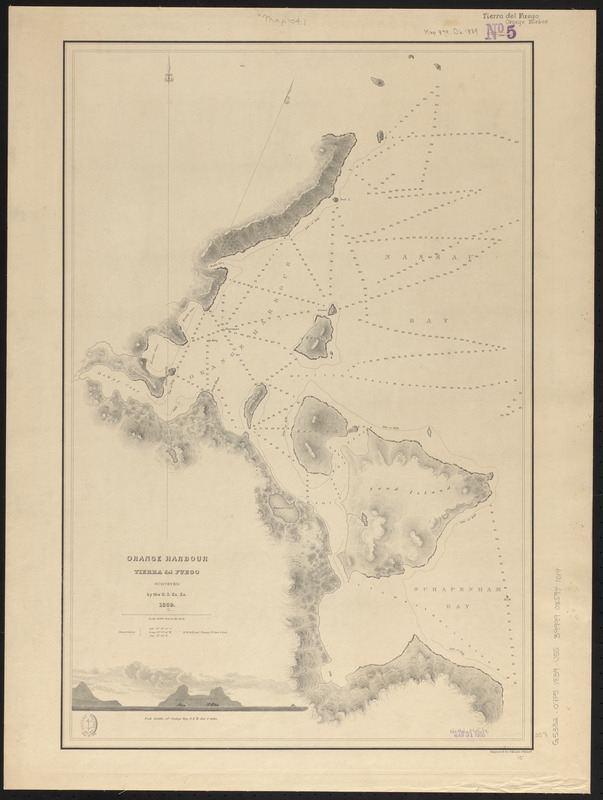
Orange Harbour, Tierra del Fuego
Item Information
- Title:
- Orange Harbour, Tierra del Fuego
- Surveyor:
- United States Exploring Expedition (1838-1842)
- Contributor:
- Wilkes, Charles, 1798-1877
- Engraver:
- Knight, J. (Engraver)
- Name on Item:
-
surveyed by the U.S. Ex. Ex. 1839 ; engraved by J. Knight
- Date:
-
[ca. 1840–1849]
- Format:
-
Maps/Atlases
- Location:
-
Boston Public Library
Norman B. Leventhal Map & Education Center - Collection (local):
-
Norman B. Leventhal Map & Education Center Collection
- Subjects:
-
Nautical charts--Chile--Orange Bay
Orange Bay (Chile)--Maps
- Places:
-
ChileMagallanes y de la Antártica Chilena (region)Orange, Bahía (bay)
- Extent:
- 1 map ; 58 x 39 cm
- Terms of Use:
-
No known copyright restrictions.
No known restrictions on use.
- Publisher:
-
[Place of publication not identified] :
[Publisher not identified]
- Scale:
-
Scale 1:24,000. 2000 feet to the inch
- Language:
-
English
- Notes:
-
Relief shown by hachures. Depths shown by soundings.
Includes view of Pack Saddle.
Published in Atlas of the Narrative of the United States Exploring Expedition : during the years 1838, 1839, 1840, 1841, 1842.
- Identifier:
-
06_01_015900
- Call #:
-
G5332.O7P5 1839 .U55
- Barcode:
-
39999085941019