Toggle navigation
LMEC Home
Exhibitions
Georeferencing
Tools for Teachers
Collections
My Favorites
Sign Up / Log In
Search
Search the map portal
Map Collection
Map Collection
Map Sets
Search
Search
Search for
Search In
All Fields
Creator
Title
Subject
Place
Search All Digital Collections
Advanced Search
13518 Results
My Search
Start Over
Date facet yearly ssim
1830
to
1834
Remove constraint Date facet yearly ssim: <span class='from'>1830</span> to <span class='to'>1834</span>
Filter your Search
Place
North and Central America
10,232
United States
8,367
Massachusetts
2,778
Suffolk (county)
1,675
Boston
1,631
Europe
1,386
Canada
949
New York
640
more
Place
»
Topic
Boston (Mass.)--Maps
746
City planning--Massachusetts--Boston--Maps
418
United States--History--Revolution, 1775-1783--Maps
329
United States--Maps
321
Real property--Massachusetts--Boston--Maps
254
Urban renewal--Massachusetts--Boston--Maps
254
Massachusetts--Maps
230
Insurance surveys
197
more
Topic
»
Date
Date range begin
–
Date range end
Current results range from
1482
to
2023
View distribution
Creator
United States. Hydrographic Office
596
Boston Redevelopment Authority
404
Des Barres, Joseph F. W. (Joseph Frederick Wallet), 1722-1824
247
Royal United Services Institute for Defence and Security Studies
160
Jefferys, Thomas, -1771
154
George, III, King of Great Britain, 1738-1820
152
George, IV, King of Great Britain, 1762-1830
151
O.H. Bailey & Co
148
more
Creator
»
Format
Maps/Atlases
13,337
Manuscripts
985
Prints
102
Books
49
Drawings/Illustrations
44
Photographs
15
Objects/Artifacts
13
Documents
7
more
Format
»
Georeferenced
Yes
979
No
12,539
Collection
Norman B. Leventhal Map & Education Center Collection
9,022
American Revolutionary War-Era Maps
3,305
Boston and New England Maps
2,900
Urban Maps
2,425
Maritime Charts and Atlases
1,167
William L. Clements Library Collection
910
Library of Congress Collection
618
Boston Redevelopment Authority Collection
475
more
Collection
»
Available to use
No known restrictions
10,085
Creative Commons license
1,677
Search Constraints
Sort by relevance
relevance
title
date (asc)
date (desc)
Number of results to display per page
20 per page
10
per page
20
per page
50
per page
100
per page
View results as:
grid view
map view
Search Results
7801.
Oregon Skyline Trail : Mt. Hood to Crater Lake
7802.
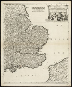
Orientalior Districtus Regni Angliae, comprehendens Comitatus et Provincias Cantium, Suthsexiam, Hantoniam, Surriam, Essexiam,...
7803.
Original plan of Brentons Neck; and all the ground to the southward of the town of New-port Rhode Island, 1779
7804.
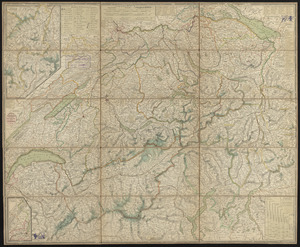
Original von Keller's zweiter reisekarte der Schweiz
7805.
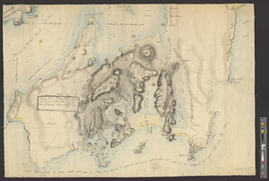
Orographical map of Scotland
7806.
Oromansaci, et Gesoriacus Pagus in Morinis : evesché de Boulogne ou sont les Comté et seneschaussée de Boulenois : Balliage...
7807.
Orthophoto index
7808.
Orthophoto map of Boston, Lynn Common
7809.
Orthophoto of a part of Greenwich, Connecticut
7810.
Orthophoto quads index
7811.
Osborn Mills, Nos. 1 & 2 Mills (Cotton), Fall River, Mass. [insurance map]
7812.
Österreich: Lombardisch-Venetianisches Königreich
7813.
Die Ostsee
7814.
Otis Company, Cotton Mill, Ware, Mass. [insurance map]
7815.
Ottoman Empire
7816.
Our Nation's Heroes
7817.
Outagamie County, Wis.
7818.
Outline and index map of city of Boston proper
7819.
Outline key to Richardson's view of the environs of Boston from Corey's Hill, Brookline
7820.
Outline map and view of the Prudential Center area
‹ Prev
Next ›
1
2
…
387
388
389
390
391
392
393
394
395
…
675
676


![Osborn Mills, Nos. 1 & 2 Mills (Cotton), Fall River, Mass. [insurance map]](https://bpldcassets.blob.core.windows.net/derivatives/images/commonwealth:ww72bx485/image_thumbnail_300.jpg)
![Otis Company, Cotton Mill, Ware, Mass. [insurance map]](https://bpldcassets.blob.core.windows.net/derivatives/images/commonwealth:1544br35q/image_thumbnail_300.jpg)