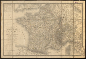
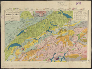
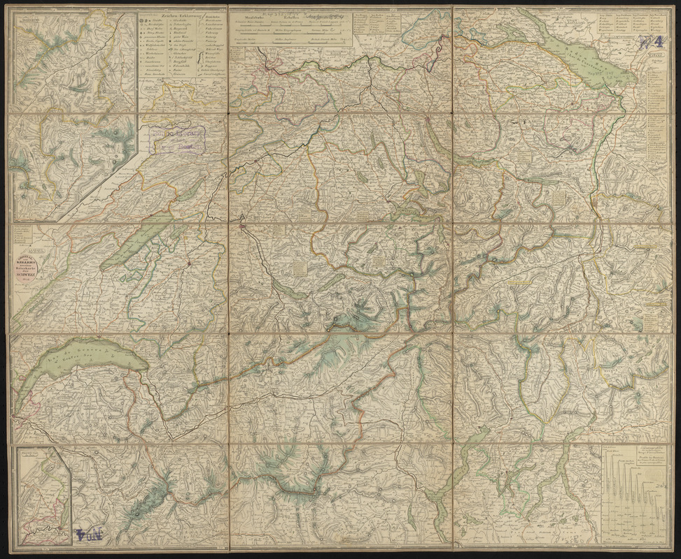
Original von Keller's zweiter reisekarte der Schweiz
Item Information
- Title:
- Original von Keller's zweiter reisekarte der Schweiz
- Cartographer:
- Keller, Heinrich, 1778-1862
- Publisher:
- Keller, Heinrich, 1778-1862
- Name on Item:
-
gest. v. J. Scheurman
- Date:
-
1849
- Format:
-
Maps/Atlases
- Location:
-
Boston Public Library
Norman B. Leventhal Map & Education Center - Collection (local):
-
Norman B. Leventhal Map & Education Center Collection
- Subjects:
-
Roads--Switzerland--Maps
Switzerland--Maps
- Places:
-
Switzerland
- Extent:
- 1 map : color, dissected and mounted on cloth ; 54 x 66 cm folded to 22 x 11 cm
- Terms of Use:
-
No known copyright restrictions.
No known restrictions on use.
- Publisher:
-
[Zürich?] :
Heinrich Keller
- Scale:
-
Scale approximately 1:450,000
- Language:
-
German
French
English
- Notes:
-
Relief shown by hachures and spot heights.
Includes 2 continuation insets and "Höhenprofile der merkwürdigsten Berge, Pässe u. Oerter."
Text, list of publications, key to abbreviations, map of Switzerland showing population and religion, map of "Helvetien unter der Römer-Herrschaft," map of "Die drei Waldstätte, Ur-Cantone des Schweizerbundes Ao. 1315," and 8 city maps on verso.
Scale statement in German, English, and French.
- Identifier:
-
06_01_015158
- Call #:
-
G6041.P2 1849 .K45
- Barcode:
-
39999085931929