Toggle navigation
LMEC Home
Exhibitions
Georeferencing
Tools for Teachers
Collections
My Favorites
Sign Up / Log In
Search
Search the map portal
Map Collection
Map Collection
Map Sets
Search
Search
Search for
Search In
All Fields
Creator
Title
Subject
Place
Search All Digital Collections
Advanced Search
14020 Results
Filter your Search
Place
North and Central America
10,683
United States
8,692
Massachusetts
2,808
Suffolk (county)
1,682
Boston
1,638
Europe
1,420
Canada
1,009
New York
674
more
Place
»
Topic
Boston (Mass.)--Maps
748
City planning--Massachusetts--Boston--Maps
418
United States--History--Revolution, 1775-1783--Maps
331
United States--Maps
328
Real property--Massachusetts--Boston--Maps
254
Urban renewal--Massachusetts--Boston--Maps
254
North America--Maps--Early works to 1800
240
Massachusetts--Maps
234
more
Topic
»
Date
Date range begin
–
Date range end
Current results range from
1482
to
2023
View distribution
Creator
United States. Hydrographic Office
597
Boston Redevelopment Authority
404
Des Barres, Joseph F. W. (Joseph Frederick Wallet), 1722-1824
247
Jefferys, Thomas, -1771
172
Royal United Services Institute for Defence and Security Studies
160
George, III, King of Great Britain, 1738-1820
152
George, IV, King of Great Britain, 1762-1830
151
O.H. Bailey & Co
148
more
Creator
»
Format
Maps/Atlases
13,838
Manuscripts
985
Prints
102
Books
49
Drawings/Illustrations
44
Photographs
15
Objects/Artifacts
13
Documents
7
more
Format
»
Georeferenced
Yes
979
No
13,041
Collection
Norman B. Leventhal Map & Education Center Collection
9,109
American Revolutionary War-Era Maps
3,627
Boston and New England Maps
2,921
Urban Maps
2,479
Maritime Charts and Atlases
1,169
William L. Clements Library Collection
910
Library of Congress Collection
618
Boston Redevelopment Authority Collection
475
more
Collection
»
Available to use
No known restrictions
10,267
Creative Commons license
1,678
Search Constraints
Sort by relevance
relevance
title
date (asc)
date (desc)
Number of results to display per page
20 per page
10
per page
20
per page
50
per page
100
per page
View results as:
grid view
map view
Search Results
6521.
A map of the Yearly Meeting of Friends for New England : 1850
6522.
A map of the yearly meeting of Friends for New England A.D. 1833
6523.
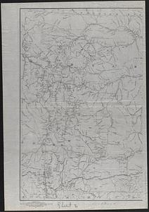
Map of the Yellowstone and Missouri Rivers and their tributaries : explored by Capt. W.F. Raynolds, Topl. Engrs., and 1st...
6524.
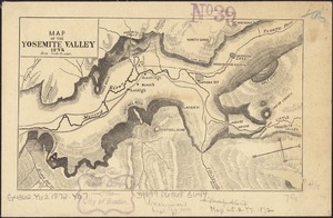
Map of the Yosemite Valley
6525.
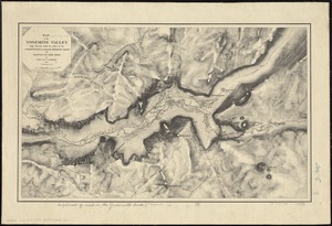
Map of the Yosemite Valley : from surveys made by order of the Commissioners to manage the Yosemite Valley and Mariposa Big...
6526.
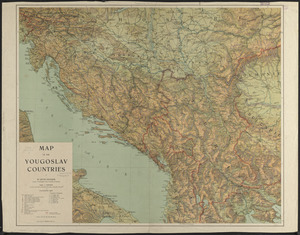
Map of the Yougoslav countries
6527.
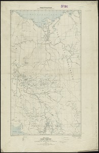
Map of the Yukon Territory to illustrate the summary reports of R.G. McConnell, B.A., Jos. Keele, B.A., and C. Camsell, B.A
6528.
A map of those countries in which the apostles travelled : in propagating Christianity
6529.
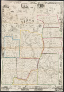
Map of Tioga County, New York : from actual surveys
6530.
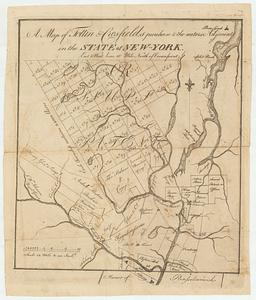
A map of Tottin & Crosfields purchase & the waters adjacent in the state of New-York
6531.
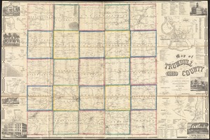
Map of Trumbull County, Ohio
6532.
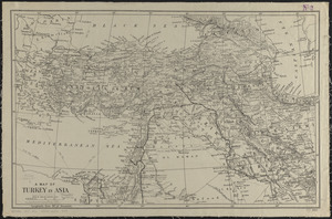
A map of Turkey in Asia
6533.
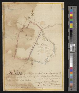
A map of two lots of land in Livingston, on the south side of the road leading from Johnstown to Ancram, containing 127 acres :...
6534.
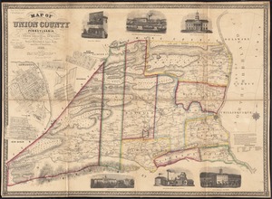
Map of Union County, Pennsylvania : entirely from original surveys
6535.
Map of United States showing drainage areas and index numbers
6536.
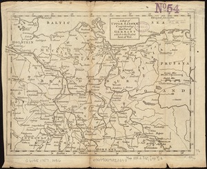
A map of Upper Saxony comprehending that part of Germany which is the present seat of war
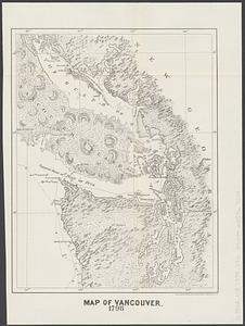
6537.
Map of Vancouver : 1798
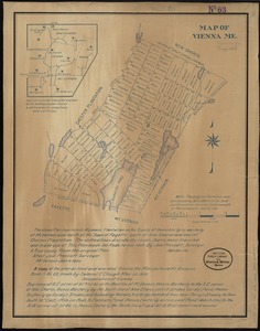
6538.
Map of Vienna, Me
6539.
A map of Virginia and Maryland
6540.
Map of Virginia and Maryland, constructed from the latest authorities
‹ Prev
Next ›
1
2
…
323
324
325
326
327
328
329
330
331
…
700
701