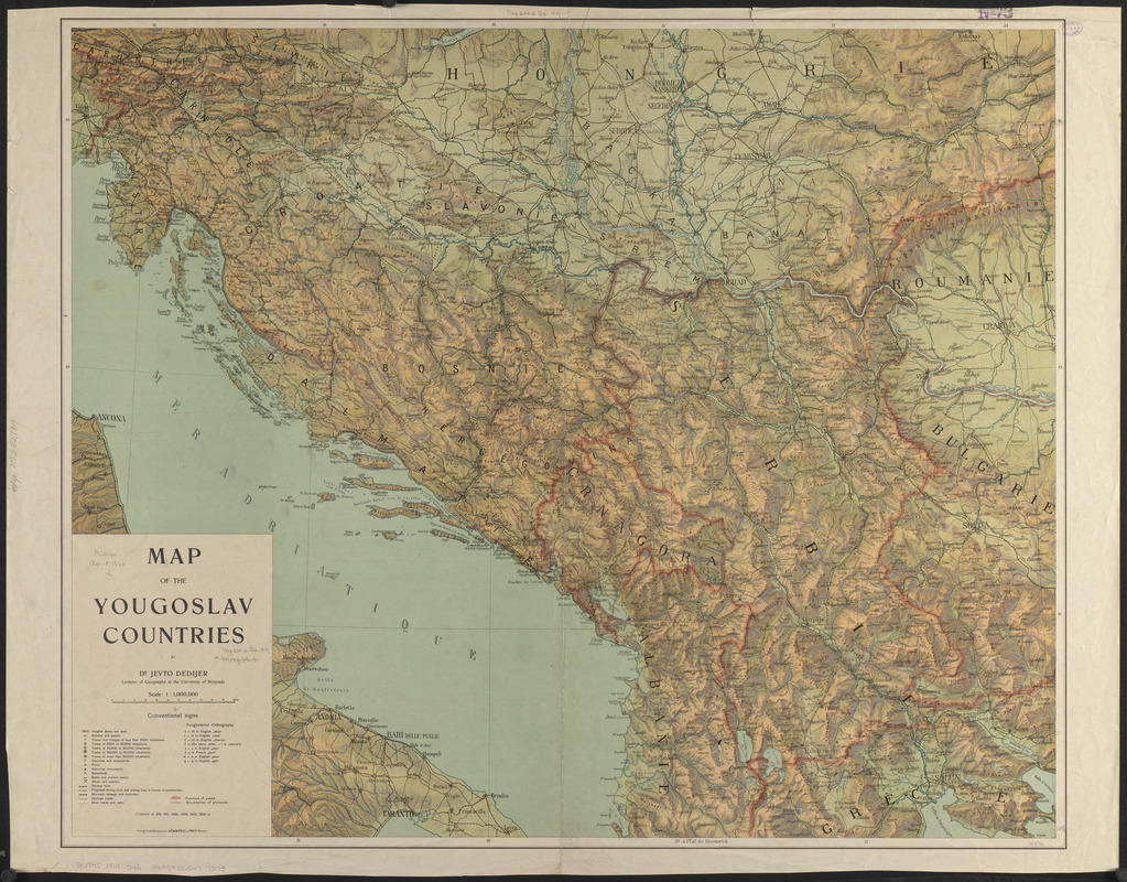
Map of the Yougoslav countries
Item Information
- Title:
- Map of the Yougoslav countries
- Cartographer:
- Dedijer, Jevto, 1879-1918
- Publisher:
- Kümmerly + Frey
- Name on Item:
-
by Dr. Jevto Dedijer
- Date:
-
[1914?]
- Format:
-
Maps/Atlases
- Location:
-
Boston Public Library
Norman B. Leventhal Map & Education Center - Collection (local):
-
Norman B. Leventhal Map & Education Center Collection
- Subjects:
-
Yugoslavia--Maps
- Places:
-
Serbia and Montenegro (country)
- Extent:
- 1 map : color ; 73 x 89 cm
- Terms of Use:
-
No known copyright restrictions.
No known restrictions on use.
- Publisher:
-
Bern :
Kummerly & Frey
- Scale:
-
Scale 1:1,000,000
- Language:
-
English
- Notes:
-
Relief shown by contours, shading and spot heights.
- Identifier:
-
06_01_012490
- Call #:
-
G6840 1914 .D43
- Barcode:
-
39999065697573


