Toggle navigation
LMEC Home
Exhibitions
Georeferencing
Tools for Teachers
Collections
My Favorites
Sign Up / Log In
Search
Search the map portal
Map Collection
Map Collection
Map Sets
Search
Search
Search for
Search In
All Fields
Creator
Title
Subject
Place
Search All Digital Collections
Advanced Search
286 Results
My Search
Start Over
1880
Remove constraint 1880
Filter your Search
Place
North and Central America
252
United States
241
Massachusetts
97
Wisconsin
46
Suffolk (county)
41
Boston
39
Europe
14
Worcester (county)
14
more
Place
»
Topic
Manuscript maps
47
Boston (Mass.)--Maps
16
United States--Maps
8
City planning--Massachusetts--Boston--Maps
6
New England--Maps
5
Real property--Massachusetts--Boston--Maps
5
Dorchester (Boston, Mass.)--Maps
4
East Boston (Boston, Mass.)--Maps
4
more
Topic
»
Date
Date range begin
–
Date range end
Current results range from
1756
to
2008
View distribution
Creator
United States. Hydrographic Office
19
Campbell-Copeland, T. (Thomas)
7
Dougal, William H., 1822-1895
7
Harper & Brothers
7
U.S. Lake Survey
7
O.H. Bailey & Co
6
Bigelow, E. H.
5
United States. Topographical Bureau
5
more
Creator
»
Format
Maps/Atlases
284
Manuscripts
92
Books
4
Prints
1
Georeferenced
Yes
20
No
266
Collection
Norman B. Leventhal Map & Education Center Collection
267
Boston and New England Maps
100
Urban Maps
71
Maritime Charts and Atlases
27
Massachusetts Real Estate Atlases
8
American Revolutionary War-Era Maps
5
Robert E. Diefenbach Map Collection at Phillips Academy
5
Campus Maps from Phillips Academy Archives and Special Collections
2
more
Collection
»
Available to use
No known restrictions
271
Creative Commons license
3
Search Constraints
Sort by relevance
relevance
title
date (asc)
date (desc)
Number of results to display per page
20 per page
10
per page
20
per page
50
per page
100
per page
View results as:
grid view
map view
Search Results
41.
Carriers of the new black plague
42.
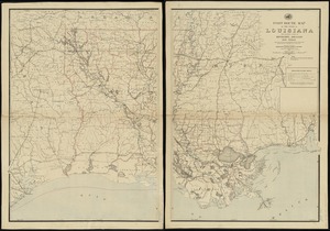
Post route map of the state of Louisiana with adjacent parts of Mississippi, Arkansas, and Texas : showing post offices, with...
43.
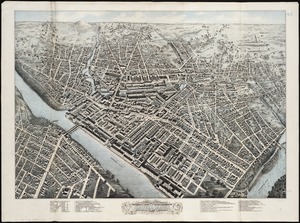
The city of Boston : 1879
44.
Atlas of Abington and Rockland, Massachusetts : from recent and actual surveys & records
45.
County atlas of Hampshire, Massachusetts
46.
Map of Boston and vicinity
47.
Plan showing the principal portion of Boston : from the latest authorities
48.
Birds eye view of Lowell, Mass : 1876
49.
Boston Over Time : filling in the land 1630 - present
50.
North Pacific Islands
51.
View of the city of New Bedford, Mass : 1876
52.
Island of Savaii, Samoan Group
53.
Outline map of Massachusetts showing population according to the United States census of 1890
54.
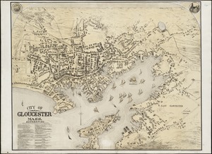
City of Gloucester, Mass
55.
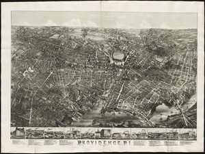
Providence, R.I
56.
Atlas of the city of Worcester, Worcester County, Massachusetts
57.
Atlas of Worcester County, Massachusetts
58.
Coast and islands between Queen Charlotte Sound and Burke Channel, British Columbia
59.
Back Bay park
60.
Map illustrating the defence [sic] of Savannah, Ga. and the operations resulting in its capture by the army commanded by Maj....
‹ Prev
Next ›
1
2
3
4
5
6
7
…
14
15


![Map illustrating the defence [sic] of Savannah, Ga. and the operations resulting in its capture by the army commanded by Maj. Genl. W.T. Sherman, Dec. 21st, 1864](https://bpldcassets.blob.core.windows.net/derivatives/images/commonwealth:4m90f544n/image_thumbnail_300.jpg)