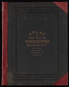
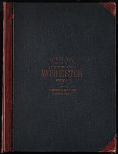
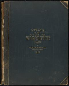
Atlas of the city of Worcester, Worcester County, Massachusetts
Item Information
- Title:
- Atlas of the city of Worcester, Worcester County, Massachusetts
- Cartographer:
- Beers, F. W. (Frederick W.)
- Engraver:
- Neumann, Louis E.
- Lithographer:
- Hart, Chas. (Charles), active 1870-1880
- Cartographer:
- Sanford, G. P. (George P.)
- Publisher:
- F.W. Beers & Co.
- Date:
-
1870
- Format:
-
Maps/Atlases
- Location:
- State Library of Massachusetts
- Collection (local):
-
Massachusetts Real Estate Atlases
- Subjects:
-
Worcester (Mass.)--Maps
Real property--Massachusetts--Worcester--Maps
Landowners--Massachusetts--Worcester--Maps
- Places:
-
Worcester (county)Worcester
- Extent:
- 1 atlas (3 unnumbered pages, 4-99 leaves of plates, 1 unnumbered leaf of plates) : illustrations, color maps ; 41 cm
- Terms of Use:
-
Prior written permission required to use any image from the digital collections of the State Library of Massachusetts.
Contact host institution for more information.
- Publisher:
-
New York :
F.W. Beers & Co.
- Language:
-
English
- Catalog Record:
-
Catalog record
- Identifier:
-
Atlas_Mass_Worcester_1870