Toggle navigation
LMEC Home
Exhibitions
Georeferencing
Tools for Teachers
Collections
My Favorites
Sign Up / Log In
Search
Search the map portal
Map Collection
Map Collection
Map Sets
Search
Search
Search for
Search In
All Fields
Creator
Title
Subject
Place
Search All Digital Collections
Advanced Search
443 Results
My Search
Start Over
virginia
Remove constraint virginia
Filter your Search
Place
North and Central America
431
United States
380
Virginia
233
Maryland
54
West Virginia
42
Middle Atlantic
38
North Carolina
34
York (county)
32
more
Place
»
Topic
Virginia--Maps
48
Virginia--Maps--Early works to 1800
39
Virginia--History--Civil War, 1861-1865--Maps
34
United States--History--Revolution, 1775-1783--Maps
32
United States--History--Civil War, 1861-1865--Maps
27
North America--Maps--Early works to 1800
24
Maryland--Maps
21
West Virginia--Maps
19
more
Topic
»
Date
Date range begin
–
Date range end
Current results range from
1590
to
1995
View distribution
Creator
Jefferys, Thomas, -1771
15
Michler, N. (Nathaniel), 1827-1881
15
Evans, Lewis, 1700?-1756
14
United States. Army. Corps of Engineers
13
Weyss, J. E.
12
New York Lithographing, Engraving and Printing Co.
11
Strasser, J.
11
Theilkuhl, F.
11
more
Creator
»
Format
Maps/Atlases
440
Manuscripts
47
Prints
2
Objects/Artifacts
1
Georeferenced
Yes
48
No
395
Collection
Norman B. Leventhal Map & Education Center Collection
286
American Revolutionary War-Era Maps
181
William L. Clements Library Collection
40
Library of Congress Collection
24
MacLean Collection Map Library
24
Maritime Charts and Atlases
18
David Judkins Weaver Papers
17
Richard H. Brown Revolutionary War Map Collection at Mount Vernon
15
more
Collection
»
Available to use
No known restrictions
283
Creative Commons license
76
Search Constraints
Sort by relevance
relevance
title
date (asc)
date (desc)
Number of results to display per page
20 per page
10
per page
20
per page
50
per page
100
per page
View results as:
grid view
map view
Search Results
221.
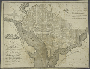
Plan of the city of Washington in the territory of Columbia : ceded by the states of Virginia and Maryland to the United States...
222.
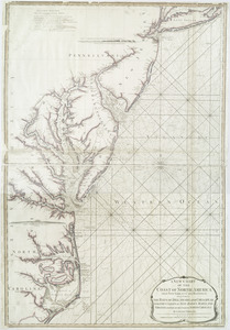
A new chart of the coast of North America : from New York to Cape Hatteras, including the bays of Delaware and Chesapeak, with...
223.
The north part of America : conteyning Newfoundland, new England, Virginia, Florida, new Spaine, and Noua Francia wth ye rich...
224.
The north part of America : conteyning Newfoundland, new England, Virginia, Florida, new Spaine, and Noua Francia wth ye rich...
225.
Map of the Virginian Railway
226.
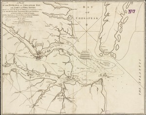
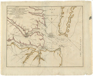
A plan of the entrance of Chesapeak Bay, with James and York rivers : wherein are shewn the respective positions (in the...
227.
A plan of the entrance of Chesapeak Bay, with James and York Rivers : wherein are shown the respective positions (in the...
228.
A plan of the entrance of Chesapeak Bay, with James and York rivers : wherein are shewn the respective positions (in the...
229.
A Plan of the entrance of Chesapeak [sic] Bay, with James and York Rivers : wherein are shewn the respective positions (in the...
230.
A Map of the British and French settlements in North America : (part the second) containing part of New York, Pensilvania, New...
231.
North America divided into its III principall parts : 1st English part viz. English Empire containing ye Articklands near...
232.
Carte de la Virginie, : de la Baye Chesapeack, et pays voisins. : Pour servir à l'Histoire générale des voyages. : Tirée...
233.
Fort Monroe and vicinity showing entrance to Chesapeake Bay, Norfolk, Portsmouth, Gosport Navy Yard &c
234.
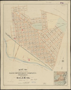
Map of a part of the Salem Improvement Company's property at Salem, Va
235.
A general map of the middle British colonies in America : viz. Virginia, Maryland, Delaware, Pensilvania, New-Jersey, New-York,...
236.
A map of the land abt. Red Stone and Fort Pitt
237.
Carte des environs du Fort Pitt et de la nouvelle province Indiana : dediée a M. Franklin
238.
Plan of Princess Ann and Norfolk counties
239.
A general map of the middle British colonies, in America : viz Virginia, Màriland, Dèlaware, Pensilvania, New-Jersey, New-York,...
240.
A general map of the middle British colonies, in America : viz Virginia, Màriland, Dèlaware, Pensilvania, New-Jersey,...
‹ Prev
Next ›
1
2
…
8
9
10
11
12
13
14
15
16
…
22
23


![A Plan of the entrance of Chesapeak [sic] Bay, with James and York Rivers](https://bpldcassets.blob.core.windows.net/derivatives/images/commonwealth:q524nf233/image_thumbnail_300.jpg)