Toggle navigation
LMEC Home
Exhibitions
Georeferencing
Tools for Teachers
Collections
My Favorites
Sign Up / Log In
Search
Search the map portal
Map Collection
Map Collection
Map Sets
Search
Search
Search for
Search In
All Fields
Creator
Title
Subject
Place
Search All Digital Collections
Advanced Search
1084 Results
My Search
Start Over
Back Bay Boston
Remove constraint Back Bay Boston
Filter your Search
Place
North and Central America
833
United States
531
Massachusetts
238
Suffolk (county)
179
Boston
173
Canada
115
South America
62
Asia
61
more
Place
»
Topic
Boston (Mass.)--Maps
60
City planning--Massachusetts--Boston--Maps
48
Back Bay (Boston, Mass.)--Maps
47
North America--Maps--Early works to 1800
35
Landowners--Massachusetts--Boston--Maps
26
Real property--Massachusetts--Boston--Maps
26
New England--Maps--Early works to 1800
24
Nova Scotia--Maps--Early works to 1800
24
more
Topic
»
Date
Date range begin
–
Date range end
Current results range from
1565
to
2020
View distribution
Creator
United States. Hydrographic Office
277
Des Barres, Joseph F. W. (Joseph Frederick Wallet), 1722-1824
64
Boston Redevelopment Authority
36
Jefferys, Thomas, -1771
24
Sayer, Robert, 1725-1794
24
Franke, M. (Max)
23
U.S. Lake Survey
22
United States Exploring Expedition (1838-1842)
21
more
Creator
»
Format
Maps/Atlases
1,069
Manuscripts
69
Drawings/Illustrations
10
Objects/Artifacts
3
Prints
3
Books
1
Posters
1
Georeferenced
Yes
54
No
1,030
Collection
Norman B. Leventhal Map & Education Center Collection
945
Maritime Charts and Atlases
481
Boston and New England Maps
265
American Revolutionary War-Era Maps
231
Urban Maps
138
Boston Redevelopment Authority Collection
54
Mapping Boston Collection
40
Library of Congress Collection
35
more
Collection
»
Available to use
No known restrictions
946
Creative Commons license
112
Search Constraints
Sort by relevance
relevance
title
date (asc)
date (desc)
Number of results to display per page
20 per page
10
per page
20
per page
50
per page
100
per page
View results as:
grid view
map view
Search Results
181.
Coast of Maine showing entrances of Blue Hill Bay, Isle of Haut Bay, and Penobscot Bay, with Owls Head, Vinalhaven Island, Isle...
182.
The embankment and park on Charles River Bay
183.
West Indies, south east coast of Jamaica, Morant Bay and the coast from Fisherman Bay to Belvidere Point : from a British...
184.
The harbour of Casco Bay and islands adjacent
185.
West Indies, Haïti or St. Domingo, Gonaïves Bay : from a French survey, 1847
186.
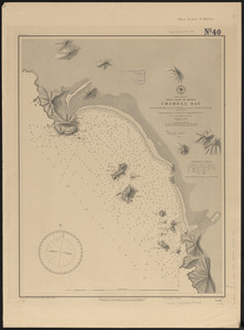
North America, west coast of Mexico, Chamela Bay
187.
West Indies, island of Santo Domingo, Caldera Bay : from a survey in 1870 by the officers of the U.S.S. Nantasket, Lt. Comdr....
188.
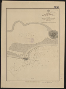
North America, west coast of Mexico, Chacahua Bay
189.
South America, United States of Colombia, Candelaria Bay : from an old Spanish plan 1886
190.
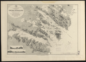
South America-- west coast, Patagonia, Tom Bay anchorages : from British surveys in 1879, corrected to 1882
191.
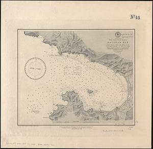
Central America, west coast of Nicaragua, Salinas Bay : from a survey in 1885 by the officers of the U.S.S. Ranger, Commander...
192.
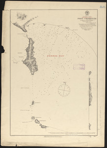
N.w. coast of Peru, Ferrol Bay & Port Chimbote
193.
Plan of the peninsula of Chesopeak [sic] Bay
194.
Map of Cape Nome and Golovin [sic] Bay
195.
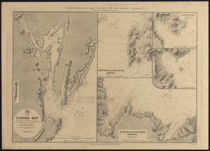
Newfoundland - east coast - Canada Bay with adjacent anchorages : from a French government survey ; 1862-3
196.
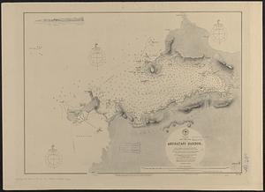
Japan, Nipon-- west coast, Aburatani Harbor (Igama Bay) : from a Japanese government survey, 1879, with additions by Mr. J.C....
197.
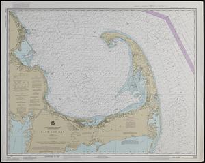
United States--east coast, Massachusetts, Cape Cod Bay
198.
The harbour of Casco Bay and islands adjacent
199.
West Indies, Grenadines--Id. of Bequia, Admiralty Bay : from British surveys, corrected to 1872
200.
Africa--north coast, Strait of Gibraltar, Tangier Bay : from a French survey in 1855 ; republication of the Brit. Admty. chart...
‹ Prev
Next ›
1
2
…
6
7
8
9
10
11
12
13
14
…
54
55


![Plan of the peninsula of Chesopeak [sic] Bay](https://bpldcassets.blob.core.windows.net/derivatives/images/commonwealth:z603vn14c/image_thumbnail_300.jpg)
![Map of Cape Nome and Golovin [sic] Bay](https://bpldcassets.blob.core.windows.net/derivatives/images/commonwealth:4m90fc12m/image_thumbnail_300.jpg)