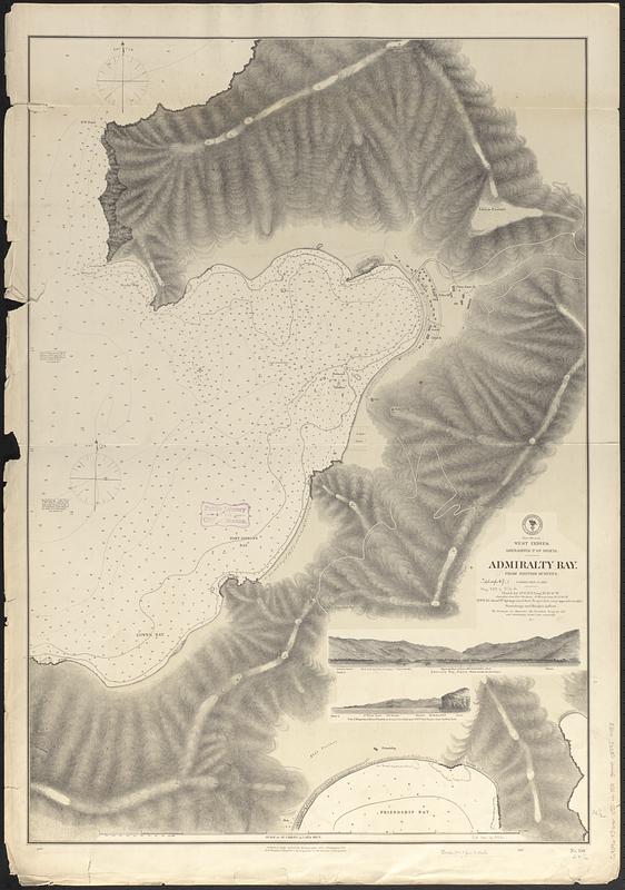
West Indies, Grenadines--Id. of Bequia, Admiralty Bay : from British surveys, corrected to 1872
Item Information
- Title:
- West Indies, Grenadines--Id. of Bequia, Admiralty Bay : from British surveys, corrected to 1872
- Issuing body:
- United States. Hydrographic Office
- Date:
-
1872
- Format:
-
Maps/Atlases
- Genre:
-
Nautical charts
- Location:
-
Boston Public Library
Norman B. Leventhal Map & Education Center - Collection (local):
-
Norman B. Leventhal Map & Education Center Collection
- Subjects:
-
Bequia Island (Saint Vincent and the Grenadines)--Maps
Admiralty Bay (Saint Vincent and the Grenadines)--Maps
Nautical charts--Saint Vincent and the Grenadines--Admiralty Bay
- Places:
-
Saint Vincent and the GrenadinesGrenadines (county)Bequia (island)
Saint Vincent and the GrenadinesGrenadines (county)Admiralty Bay
- Extent:
- 1 map ; 93 x 65 cm
- Terms of Use:
-
No known copyright restrictions.
No known restrictions on use.
- Publisher:
-
Washington, D.C. :
Hydrographic Office
- Scale:
-
Scale approximately 1:3,750
- Language:
-
English
- Notes:
-
Relief shown by hachures and spot heights. Depths shown by soundings and isolines.
Includes 2 coastal views.
- Identifier:
-
06_01_017095
- Call #:
-
G9096.P5 svar .U55 no. 358
- Barcode:
-
39999085954483


