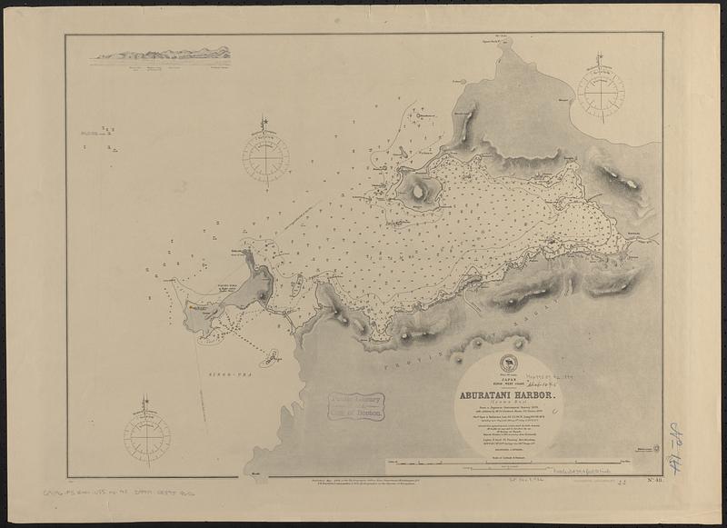
Japan, Nipon-- west coast, Aburatani Harbor (Igama Bay) : from a Japanese government survey, 1879, with additions by Mr. J.C. Pendered, Master S.S. Thabor, 1879
Item Information
- Title:
- Japan, Nipon-- west coast, Aburatani Harbor (Igama Bay) : from a Japanese government survey, 1879, with additions by Mr. J.C. Pendered, Master S.S. Thabor, 1879
- Issuing body:
- United States. Hydrographic Office
- Printer:
- Leggo Bros. & Co.
- Date:
-
1884
- Format:
-
Maps/Atlases
- Genre:
-
Nautical charts
- Location:
-
Boston Public Library
Norman B. Leventhal Map & Education Center - Collection (local):
-
Norman B. Leventhal Map & Education Center Collection
- Subjects:
-
Yuya Bay (Japan)--Maps
Nautical charts--Japan--Yuya Bay
- Places:
-
JapanYuya-wan (bay)
- Extent:
- 1 map ; 44 x 59 cm
- Terms of Use:
-
No known copyright restrictions.
No known restrictions on use.
- Publisher:
-
Washington, D.C. :
Hydrographic Office
- Scale:
-
Scale approximately 1:41,700
- Language:
-
English
- Table of Contents:
-
Ebon Atoll
Arhno Atoll
- Notes:
-
Relief shown by hachures. Depths shown by soundings and isolines.
Includes coastal view.
- Identifier:
-
06_01_017490
- Call #:
-
G9096.P5 svar .U55 no. 48
- Barcode:
-
39999085959656


