South America-- west coast, Patagonia, Tom Bay anchorages : from British surveys in 1879, corrected to 1882
Item Information
- Title:
- South America-- west coast, Patagonia, Tom Bay anchorages : from British surveys in 1879, corrected to 1882
- Title (alt.):
-
Tom Bay anchorages
- Issuing body:
- United States. Hydrographic Office
- Date:
-
1886
- Format:
-
Maps/Atlases
- Location:
-
Boston Public Library
Norman B. Leventhal Map & Education Center - Collection (local):
-
Norman B. Leventhal Map & Education Center Collection
- Subjects:
-
Nautical charts--Chile--Tom Bay
Nautical charts--Chile--Señoret Harbor
Tom Bay (Chile)--Maps
Señoret Harbor (Chile)--Maps
- Places:
-
ChileMagallanes y de la Antártica Chilena (region)Tom, Bahía (bay)
ChileMagallanes y de la Antártica Chilena (region)Señoret, Puerto (harbor)
- Extent:
- 1 map ; 42 x 59 cm
- Terms of Use:
-
No known copyright restrictions.
No known restrictions on use.
- Publisher:
-
Washington, D.C. :
Hydrographic Office
- Edition:
- Edition of March 1886
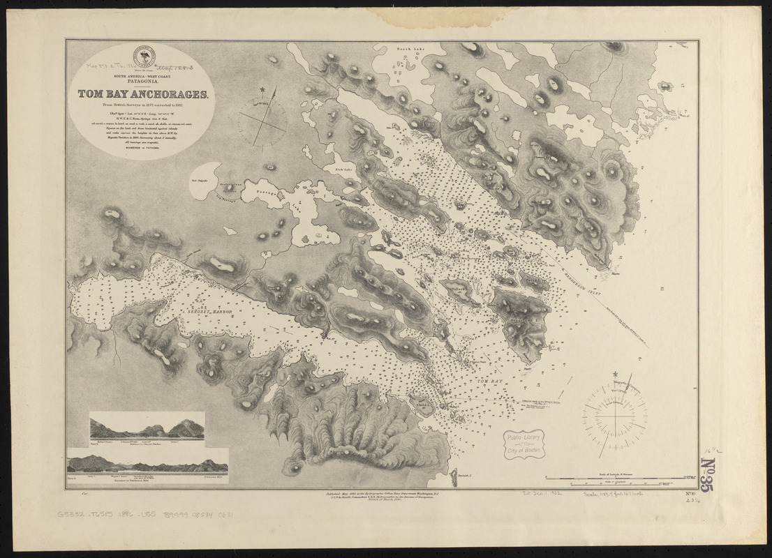
- Scale:
-
Scale approximately 1:14,300
- Language:
-
English
- Notes:
-
Relief shown by hachures and spot heights. Depths shown by soundings and isolines.
Includes 2 coastal views.
- Identifier:
-
06_01_015838
- Call #:
-
G9096.P5 svar .U55
- Barcode:
-
39999085940631


