Toggle navigation
LMEC Home
Exhibitions
Georeferencing
Tools for Teachers
Collections
My Favorites
Sign Up / Log In
Search
Search the map portal
Map Collection
Map Collection
Map Sets
Search
Search
Search for
Search In
All Fields
Creator
Title
Subject
Place
Search All Digital Collections
Advanced Search
987 Results
My Search
Start Over
More Like
commonwealth-oai:v405x789b
Remove constraint More Like: commonwealth-oai:v405x789b
Filter your Search
Place
North and Central America
959
United States
698
Canada
206
New York
194
Quebec
111
Rhode Island
83
Massachusetts
80
Pennsylvania
61
more
Place
»
Topic
United States--History--Revolution, 1775-1783--Maps
330
United States--History--French and Indian War, 1754-1763--Maps
149
Rhode Island--Maps
50
Saint Lawrence River--Maps
43
Massachusetts--Maps
40
Newport (R.I.)--Maps
28
Connecticut--Maps
26
New York (State)--Maps
25
more
Topic
»
Date
Date range begin
–
Date range end
Current results range from
1700
to
1981
View distribution
Creator
Rocque, Mary Ann
29
Holland, Samuel, 1728-1801
25
Jefferys, Thomas, -1771
25
Montrésor, John, 1736-1799
25
Bellin, Jacques Nicolas, 1703-1772
24
Clinton, Henry, Sir, 1738?-1795
19
Robert Sayer and John Bennett (Firm)
16
Hills, John, active 1777-1819
13
more
Creator
»
Format
Maps/Atlases
971
Drawings/Illustrations
11
Documents
5
Manuscripts
4
Objects/Artifacts
1
Prints
1
Georeferenced
Yes
17
No
970
Collection
American Revolutionary War-Era Maps
934
William L. Clements Library Collection
909
Norman B. Leventhal Map & Education Center Collection
56
Boston and New England Maps
43
Maps from AAS
9
David Judkins Weaver Papers
4
Newberry Library Collection
3
Urban Maps
3
more
Collection
»
Available to use
No known restrictions
57
Creative Commons license
5
Search Constraints
Sort by relevance
relevance
title
date (asc)
date (desc)
Number of results to display per page
20 per page
10
per page
20
per page
50
per page
100
per page
View results as:
grid view
map view
Search Results
941.
Southwest coast of St. Vincent
942.
Specimen trigesimae sextae partis ex globo terrestri trium pedum Parisin cujus nec non globi Coelestis constructio addito...
943.
St. Clair's camp at later site of Greenville
944.
The St. Lawrence River between Coteau des Cedres and Varennes
945.
The St. Lawrence River between Trois Rivières and Grondines Parish
946.
The St. Lawrence River from the Rapids of Richelieu to Cape Torment
947.
St. Paul's Bay; Isle de Coudres; Great Cove; Pt. de Mille Vaches
948.
Subdivision of lot no. 12 in the Good Beer Kill tract : performed this 4th day of Octr. 1797
949.
Survey bill of Peter Hams farm, (as he now has the same in fence) situate in great lot no. 2 in the manor of Livingston :...
950.
A survey of Lake Champlain including Crown Point and St: John's : surveyed by order of his excellency Major Genl: Sir Jeffery...
951.
Survey of land between Kennebec River and Wesserunsett Pond, Maine
952.
A survey of the city and fortress of Louisbourg, the harbour, and their environs, from Fresh Water Cove in Gabarouse Bay to...
953.
A survey of the passage to the river Missisippi by the Lakes Pontchartrain and Maurepas and the river Iberville : 10th January...
954.
Survey of the wharf lots lying between Broad and Queen streets, to ascertain the line, between Mr. Samuel Prideau junior & Mr....
955.
Survey on Red River
956.
Surveyed by Daniel Newhall for Capt Caleb Leland and sold to James Wilder, February 1800
957.
Surveyed for George Rogers Clark 36.962 acres of land...lying in Lincoln County and on the Ohio : June 7th, 1784
958.
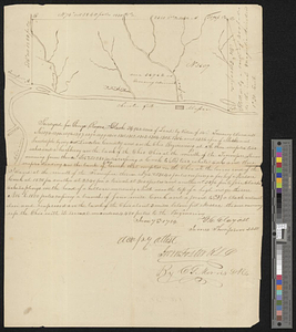
These plans represent the land of Capt Ebenezer Brook, late of Medford
959.
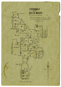
Thibou's and Blizards
960.
This map of Kentucke, drawn from actual observations ...
‹ Prev
Next ›
1
2
…
44
45
46
47
48
49
50